Spider Gap - Buck Creek Pass Loop
Glacier Peak Wilderness
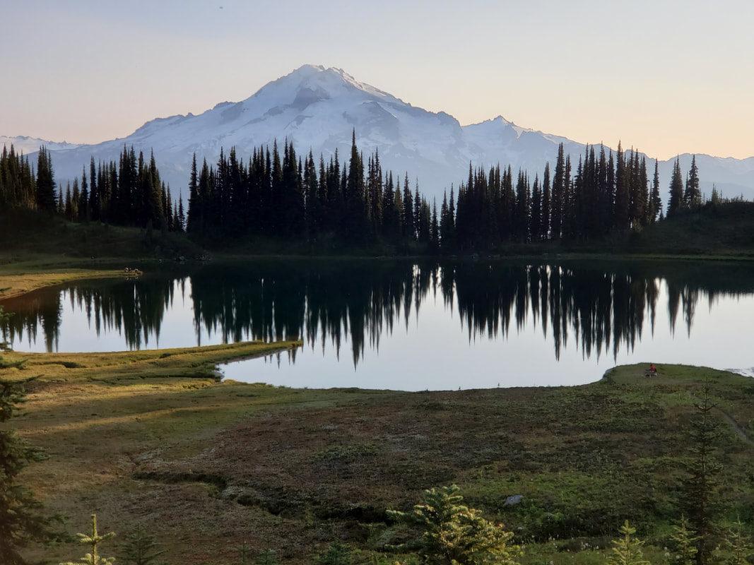
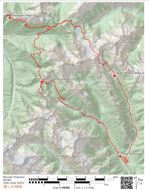
Spectacular! You can stop reading, that is all you need to know! I spent three nights and 51 miles backpacking Buck Creek to Spider Gap Loop with side trip extensions around Liberty Cap and out to Image Lake. I had wow factor scenery and absolutely perfect conditions each day! Little did I know this would be my last outdoors adventure for awhile, as the western US wild fire smoke rolled in immediately following. The first two days featured beautiful hiking up and down valleys and across ridgelines. I camped below a mountain pass and at an alpine lake, both offering fantastic views of the Glacier Peak volcano. The real highlight of the trip came on the third day as I climbed two mountain passes, hiked up a glacial fed lake basin, got an up close view of not one, but two glaciers, and finally boot-skied down a snow filled gap into a beautiful meadow. I camped alongside the meadow creek and enjoyed an easy walk out on the fourth day to complete the loop. My route was clockwise as follows: Trinity Trailhead > Buck Creek Pass > Image Lake > Cloudy Pass > Lyman Lakes > Spider Gap > Spider Meadow > Phelps Creek Trailhead > Road Walk Back to Trinity Trailhead.
Day 1
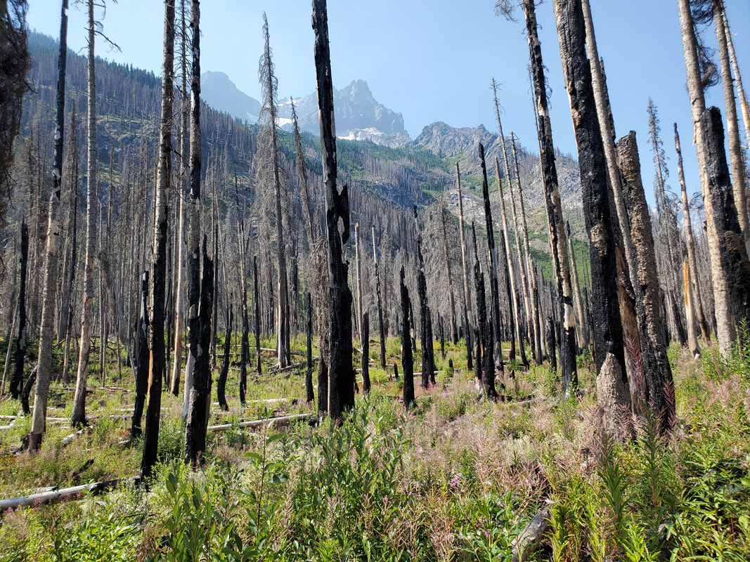
To start the hike I headed to the Trinity Trailhead, in the Okanogan-Wenatchee National Forest northwest of the town of Leavenworth, Washington. Getting to the trailhead is no easy feat, thanks to the horrible rocky and dusty Forest Service road conditions. I hit the trail around 11am, nearly four hours after I left my house in Seattle. My plan for the day was to hike up the Buck Creek Trail to Buck Creek Pass and camp for the night. The first couple of miles were wooded until the trail entered a wildfire burn zone from several years back. It was interesting to see the burned tree trunks, against the new, green plant growth. Continuing on, I gained elevation through a beautiful meadow area and up to a ridgeline overlooking the valley that I had just travelled from.
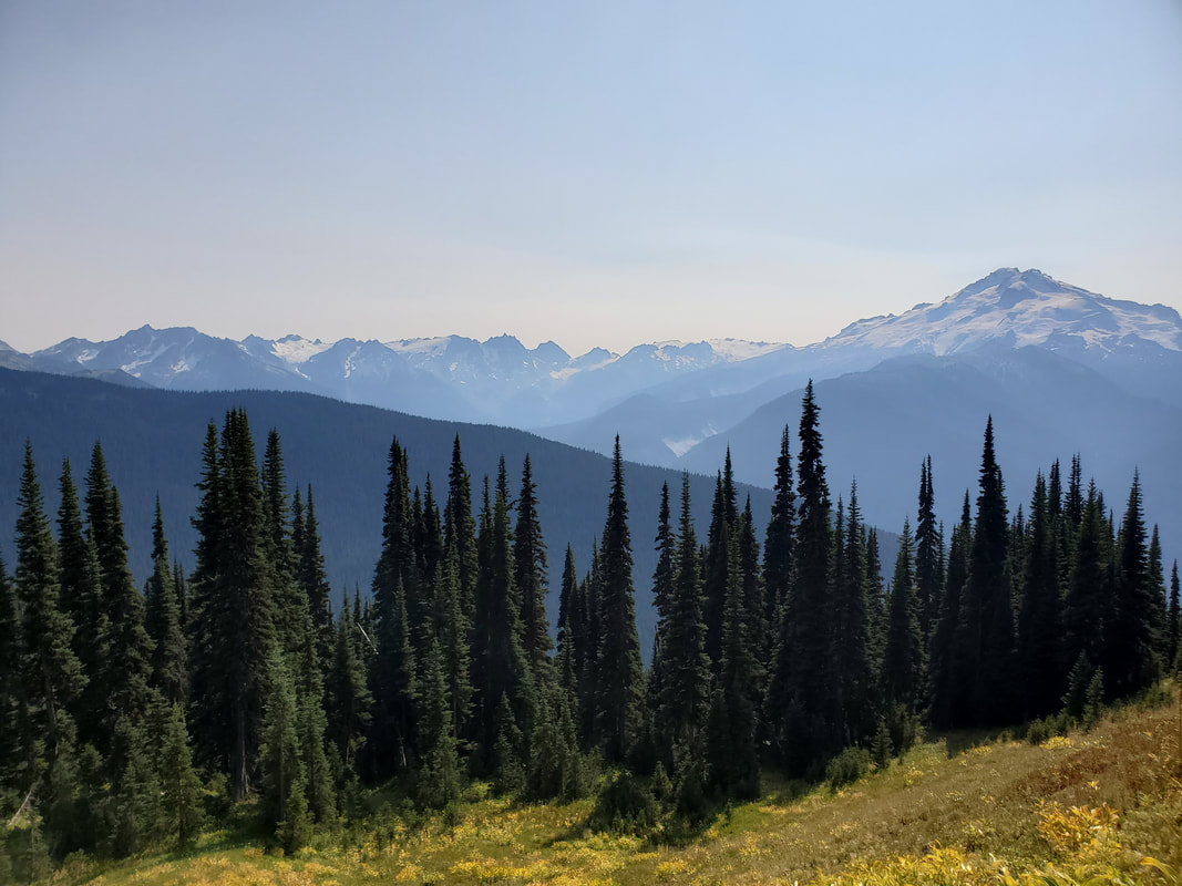
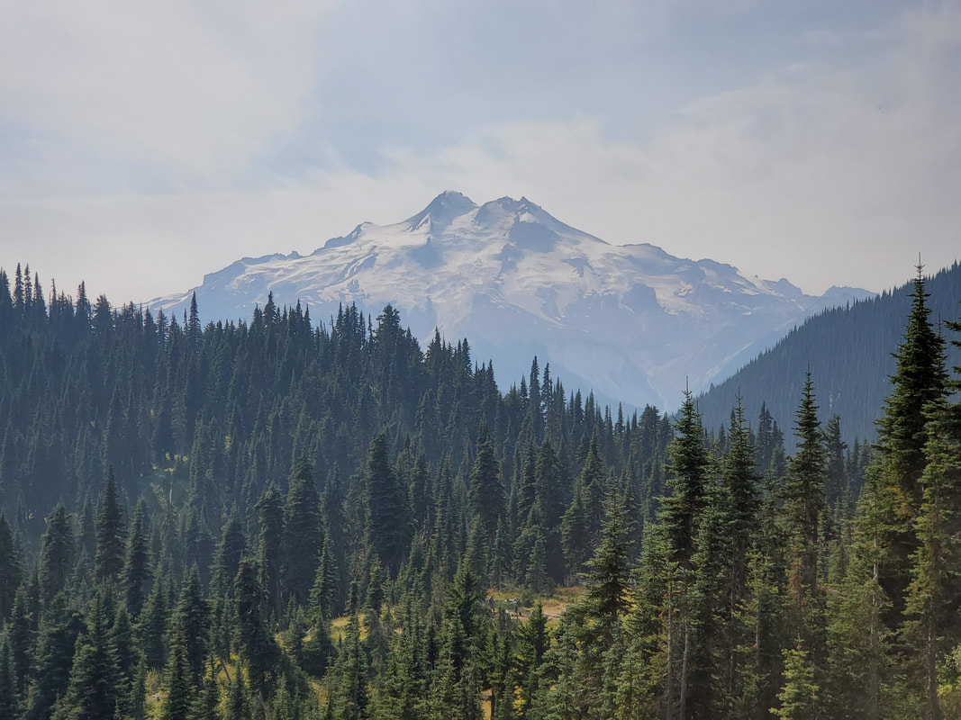
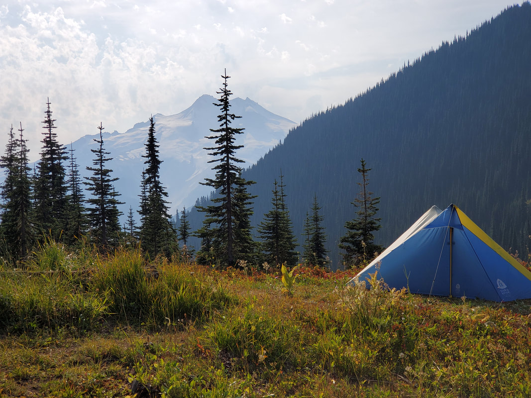
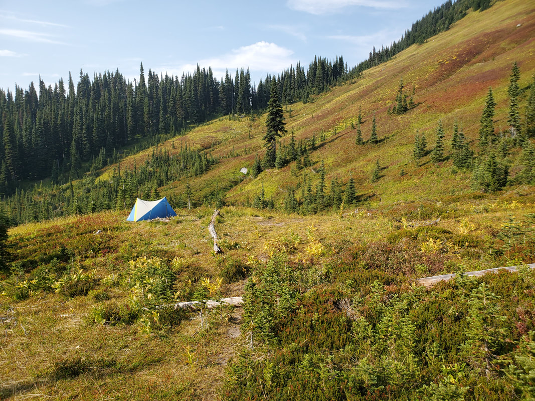
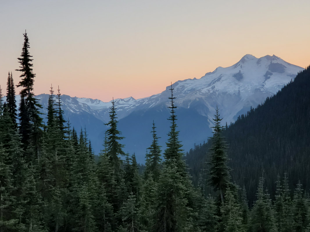
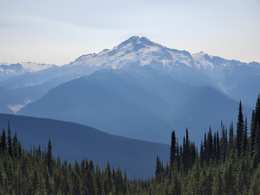
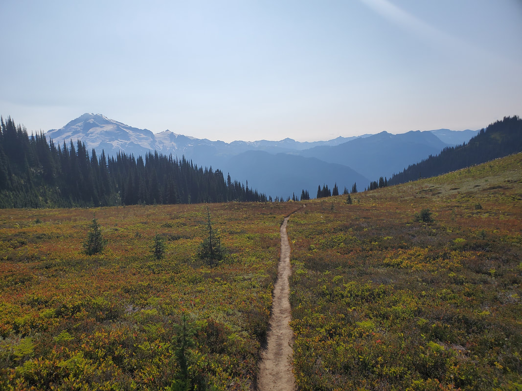
I continued around the ridge towards Buck Creek Pass and my first views of Glacier Peak emerged! From the pass, at 5,800 feet, I could see surrounding peaks of Flower Dome, Helmet Butte, Liberty Cap, and, of course, a perfectly framed Glacier Peak. Buck Creek Pass has an established campsite, which is drab and offers no views (?!?). Instead, I explored down an unmaintained trail from the pass which I'd read about and located on the map. With luck I found a perfect backcountry campsite (on a dead grass patch) with amazing views and a small stream nearby!
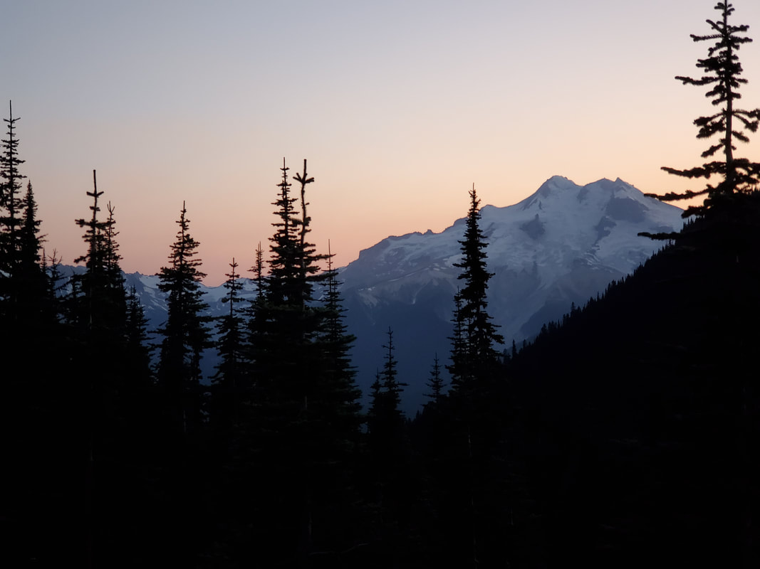
After setting up camp, I took a side excursion up the Liberty Cap Trail which runs around the side of Liberty Cap peak and delivers a ridgeline walk with views of Glacier Peak and surrounding mountains. I returned to camp with a total of ~15 miles and +4,500/-900 feet of elevation gain/loss for the day. I ate dinner and watched a beautiful sunset from my tent before going to bed with the sun.
Day 2
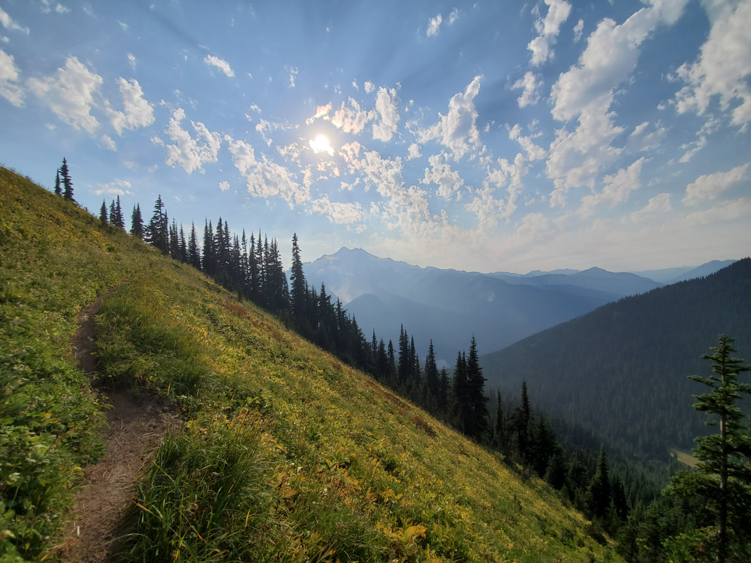
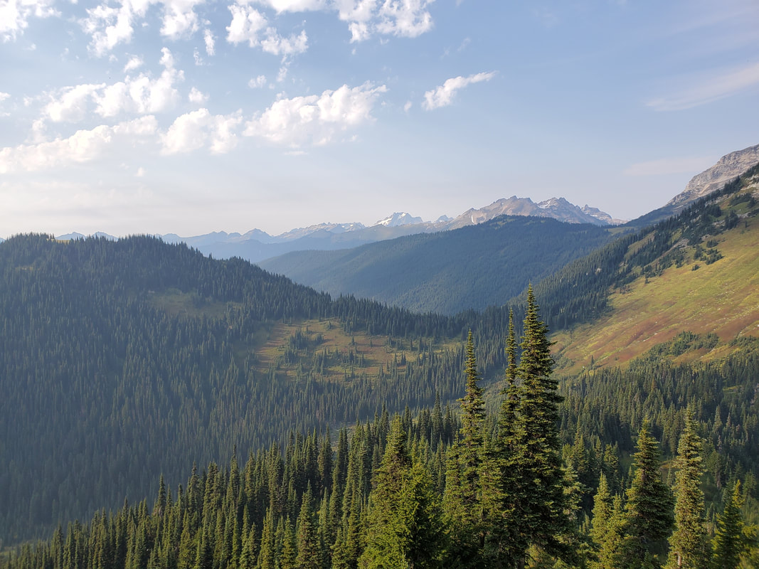
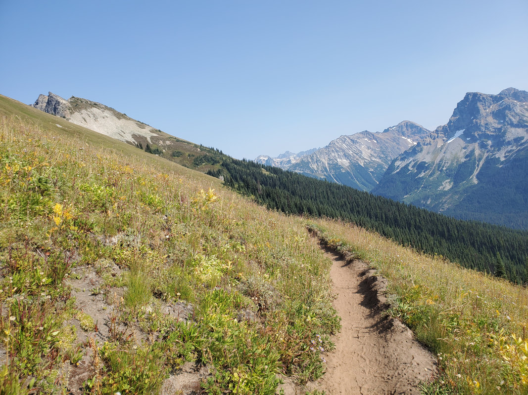
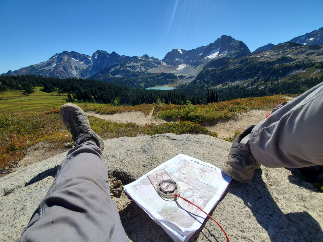
The next morning I continued north on the Buck Creek Trail. Once crossing through the pass, I headed down into a wooded valley and then up the opposite wall to Middle Ridge. This ridgeline is mostly wooded, but opens up for beautiful views where the trail crosses over, allowing you to look north across the upcoming section of the hike. I took this opportunity to sit down on a log, eat a snack, and practice my map and compass skills using several of the mountain landmarks in the distance where I was headed. Once over the ridge you hike down into another valley and eventually connect up to the Pacific Crest Trail (PCT). After heading northbound on the PCT, I began looking for the trail junction to Miner's Ridge Trail out to Image Lake, a 7 mile round trip extension on the standard loop route.
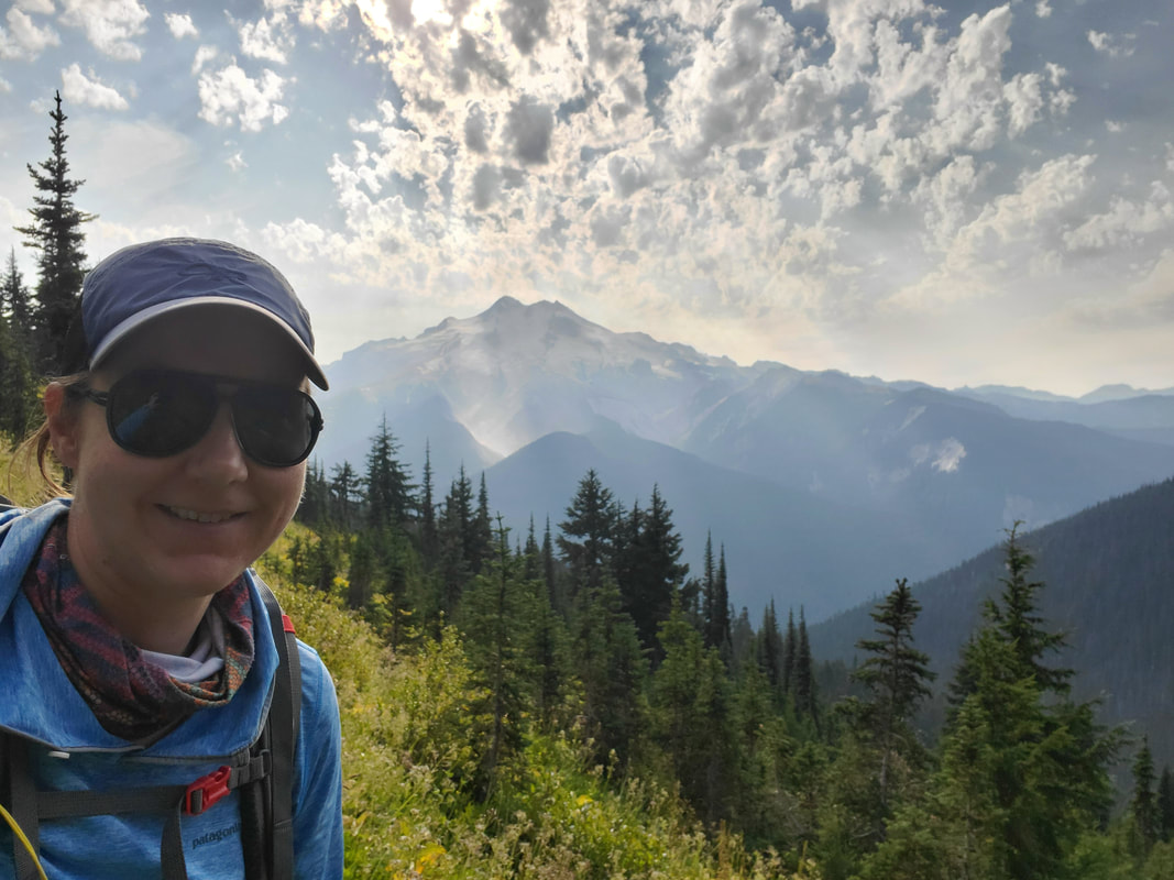
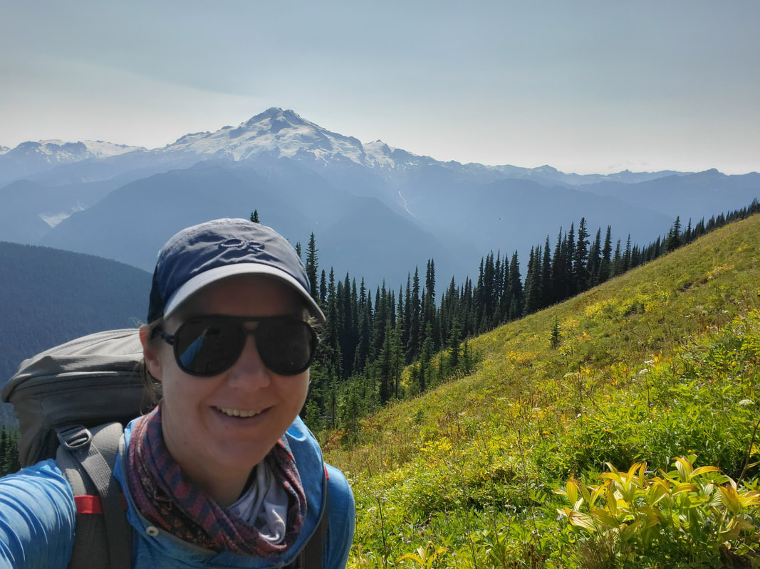
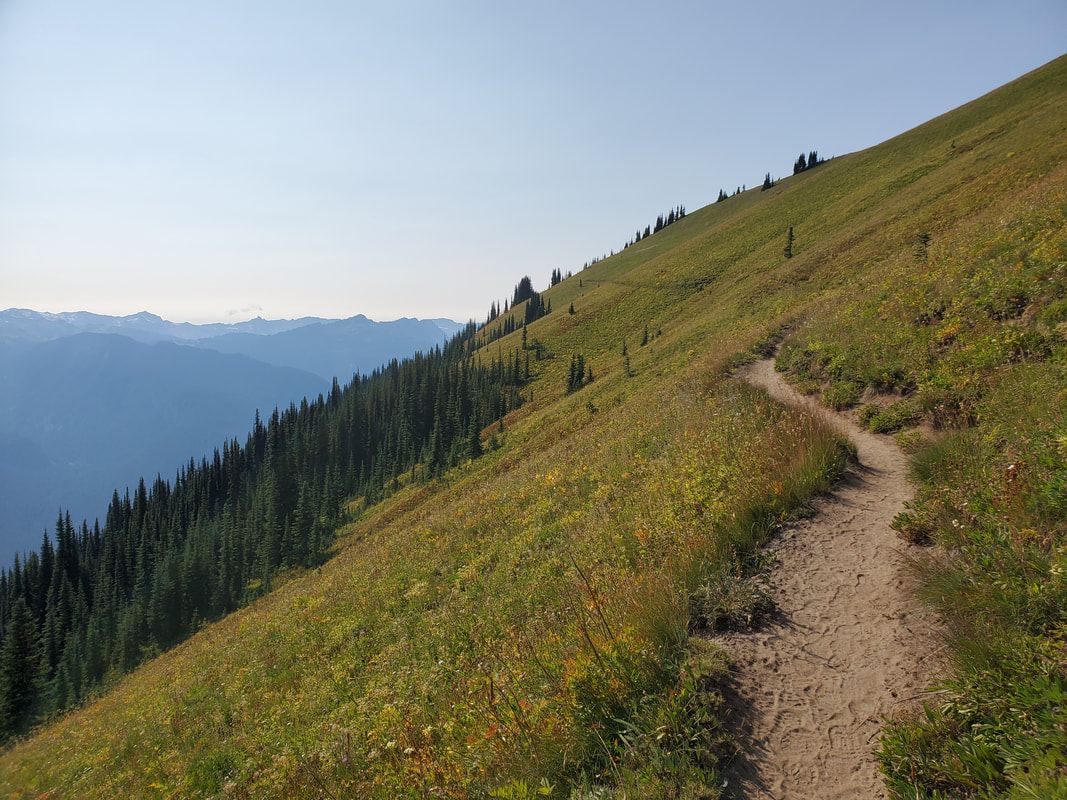
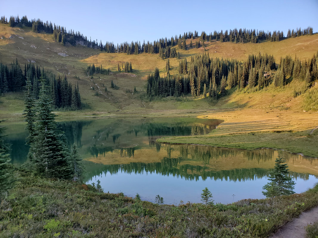
The Miner's Ridge Trail leaves the PCT and follows the ridgeline roughly west and eventually up to Image Lake. About a third of the way to Image Lake you leave the forest and hike across the open ridgeline and meadow. The 360 degree views were outstanding. Glacier Peak and the surrounding Cascade Mountain range felt as if in your face. The ridgeline trail descended down into the Image Lake basin and I located a spot to set up camp on the edge of the established campsite area. I spent the evening exploring Image Lake before eating dinner and heading to bed after a successful (and beautiful) ~13 miles and +3,600/-3,900 feet of elevation gain/loss for the day.
Day 3
When I woke up on the morning of the third day I was excited. I knew this was going to be my "epic" day, as if the previous two had not been beautiful enough. This was the day that I would get to go deeper into the backcountry with more rugged terrain and obstacles than previously experienced. I knew I would really get to test my skills (and myself), plus gain valuable experience on the other side.
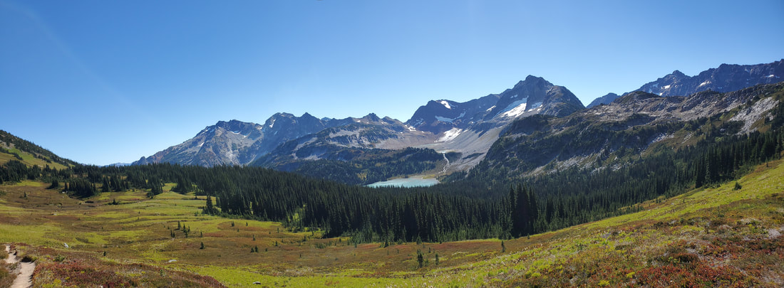
From Image Lake I headed back to the PCT for a brief hike up to Suiattle Pass. From the pass I took the signed climber's route, leaving the PCT and heading towards Cloudy Pass. The climbers route was not difficult, but required some class two scrambling (hands and feet) up a rock field to connect to the Cloudy Pass Trail. After a section of switchbacks, the trail delivered me to out at the amazing Cloudy Pass, elevation 6,438 feet. From the pass you can see many notable landmarks on the horizon: Cloudy Peak, Lyman Lakes, Lyman Glacier, Fortress Mountain, Chiwawa Mountain, and Spider Gap. I can imagine why it is probably called Cloudy Pass, but today it was a pure bluebird sky.
From Image Lake I headed back to the PCT for a brief hike up to Suiattle Pass. From the pass I took the signed climber's route, leaving the PCT and heading towards Cloudy Pass. The climbers route was not difficult, but required some class two scrambling (hands and feet) up a rock field to connect to the Cloudy Pass Trail. After a section of switchbacks, the trail delivered me to out at the amazing Cloudy Pass, elevation 6,438 feet. From the pass you can see many notable landmarks on the horizon: Cloudy Peak, Lyman Lakes, Lyman Glacier, Fortress Mountain, Chiwawa Mountain, and Spider Gap. I can imagine why it is probably called Cloudy Pass, but today it was a pure bluebird sky.
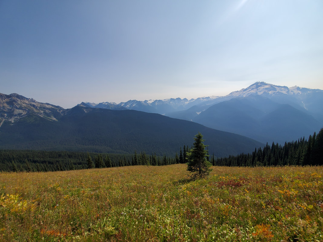
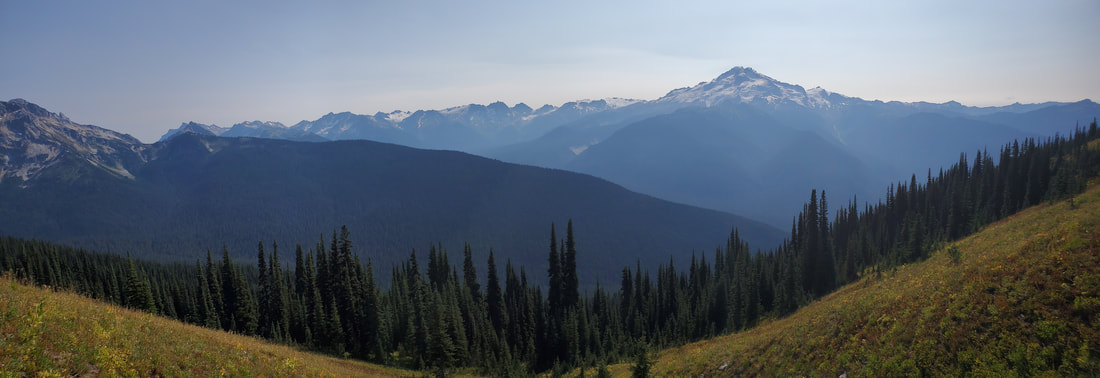
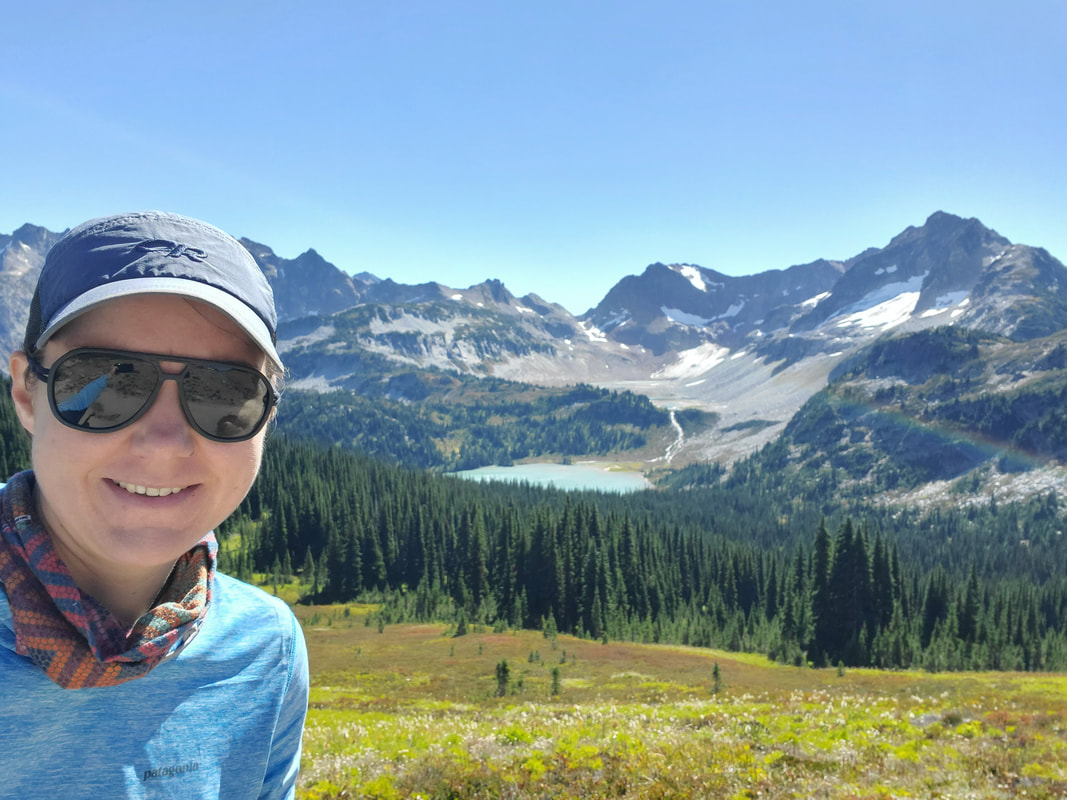
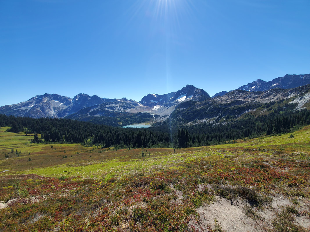
From Cloudy Pass my route lay out in front of me - up and over Spider Gap. Spider Gap can be seen as the low point at the center of the mountain range in the first of the three images below. I took this opportunity to take a break, soak in the views, and consult my navigation tools for the journey ahead.
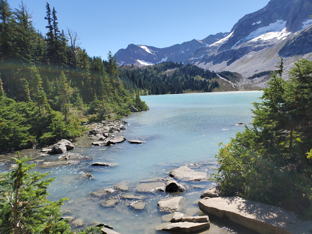
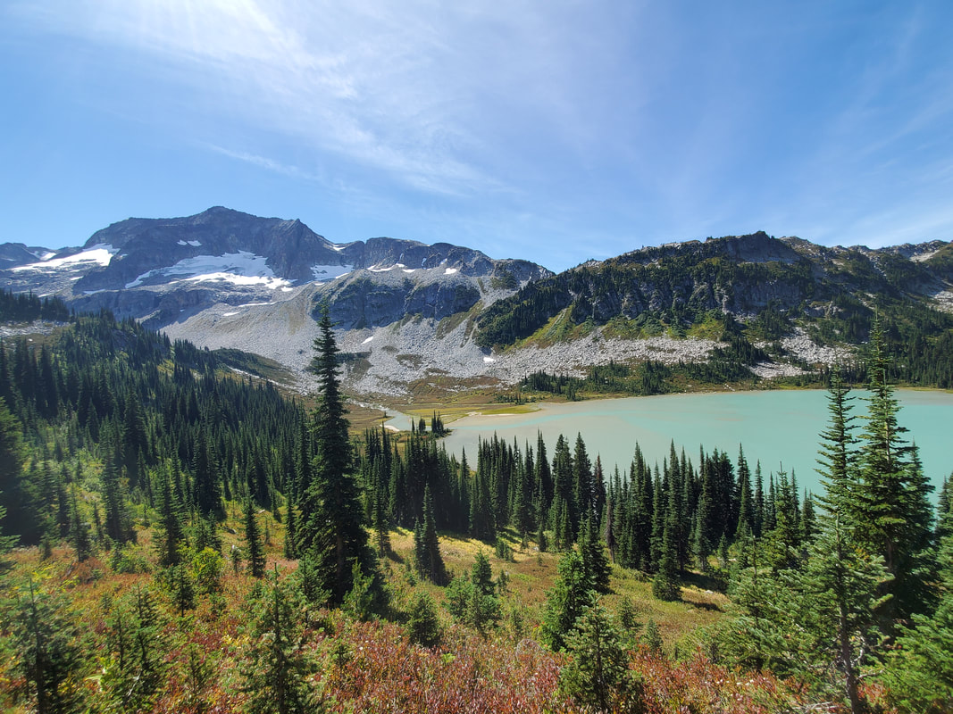
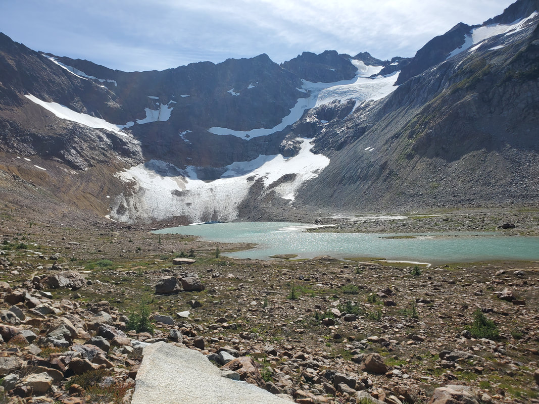
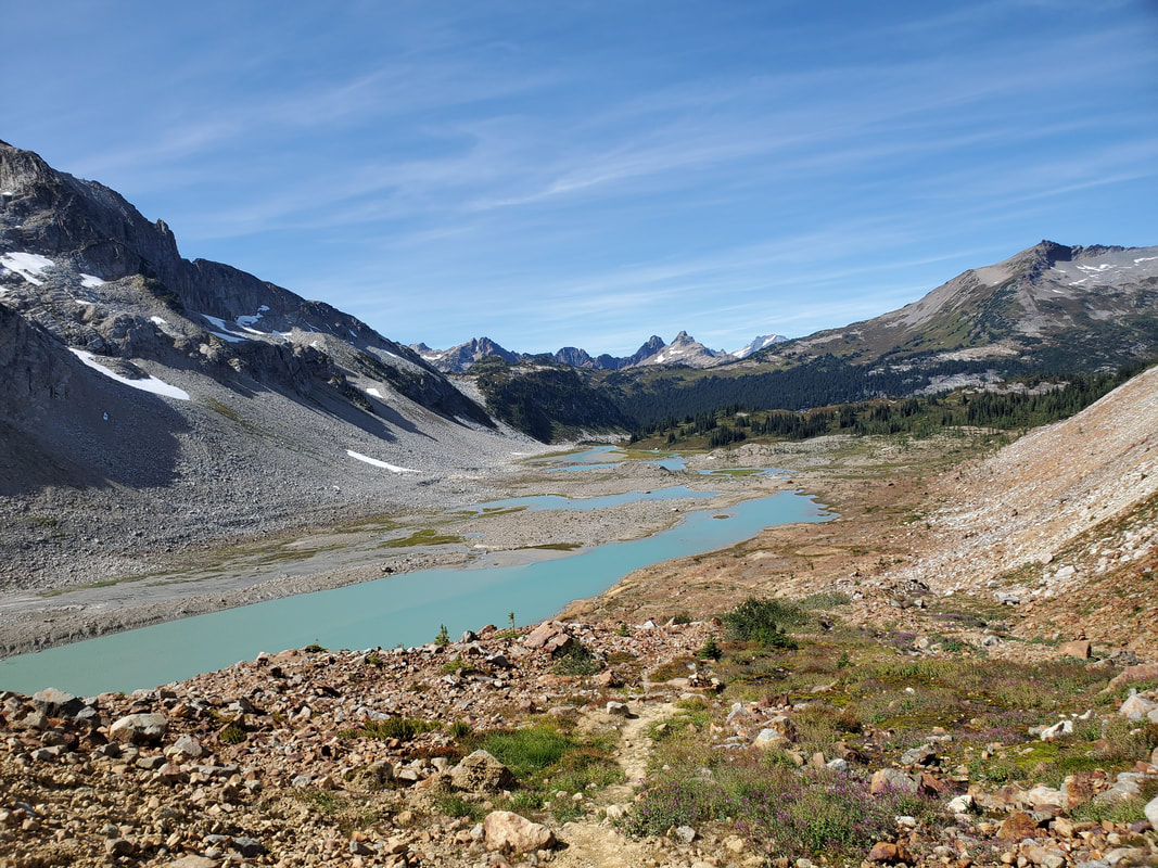
From Cloudy Pass the path leads down through the meadow and connects to the Lyman Lakes Trail. The next miles are through a forested section with peek-a-boo views of the lowermost Lyman Lake. Lyman Lake is a series of alpine lakes fed by glacial runoff from the Lyman Glacier (notice the milky, turquoise water). The trail gains elevation, eventually leaving the trees behind and continuing across the exposed, rocky lake basin. The uppermost Lyman Lake marks the end of the basin and also the end of the official trail. Lyman Glacier, Chiwawa Mountain, and Fortress Mountain loom large in front of you.
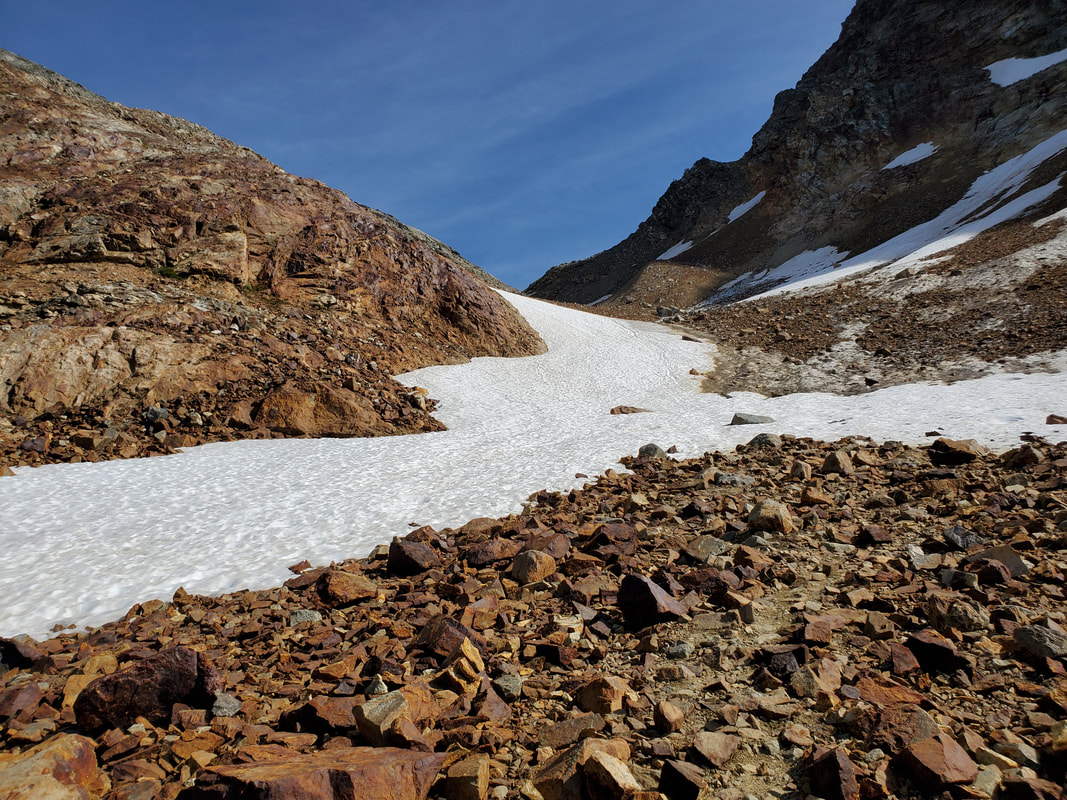
The route up and over Spider Gap and down Spider Glacier (the other side) is an off-trail or backcountry route. However, cairns exist on the route and in some places boot paths could also be found. I kept an eye on the cairns and paths, but they can be misleading, so I appreciated having my own map and GPS to help me follow the route. The initial climb up Spider Gap was simply steep and rocky. Near the top of the gap a few small snowfields persisted and my micro-spikes and poles were helpful to hike across.
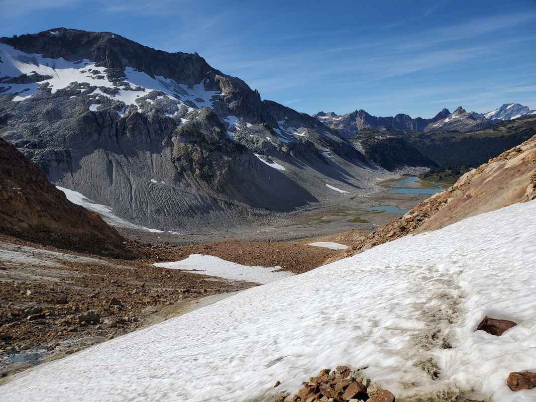
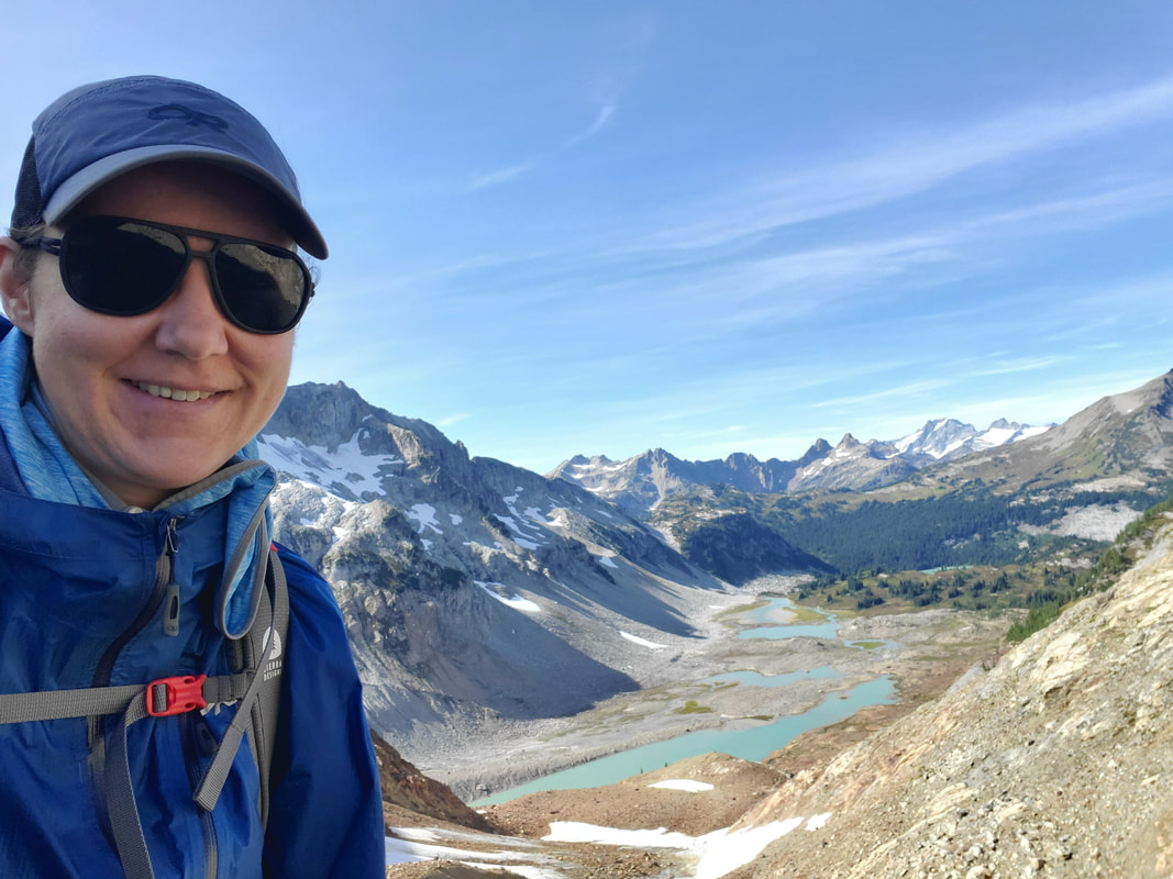
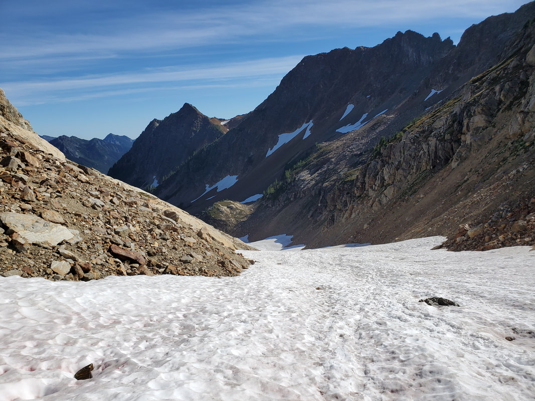
From the top of Spider Gap the view back across Lyman Lake was other-worldly (looking where I had come from). To descend on the other side of Spider Gap you will need to cross Spider Glacier. I read an article that it is not really a glacier anymore (no longer moving), but mostly just a giant year-round snowfield. It was a lengthy snowfield, but not very steep. With the help of my micro-spikes and poles, it took me about 20 minutes to boot-ski on my heels down the snow slope. A heck of a lot easier and faster than the way up!
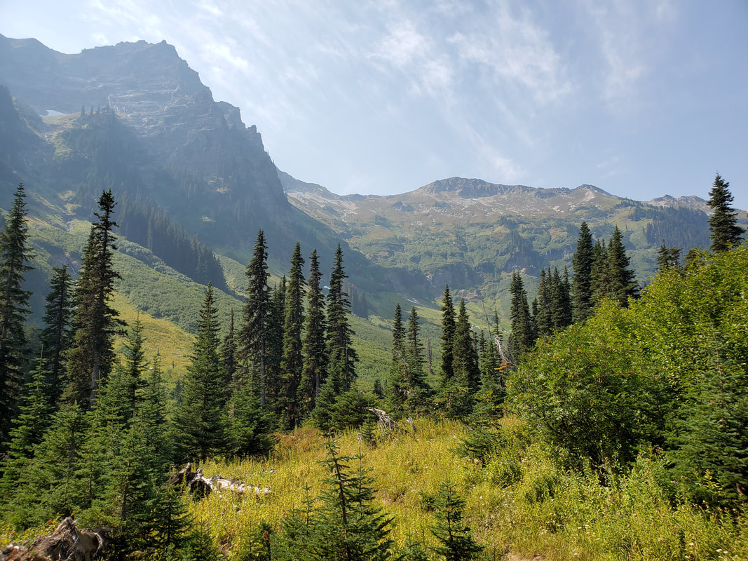
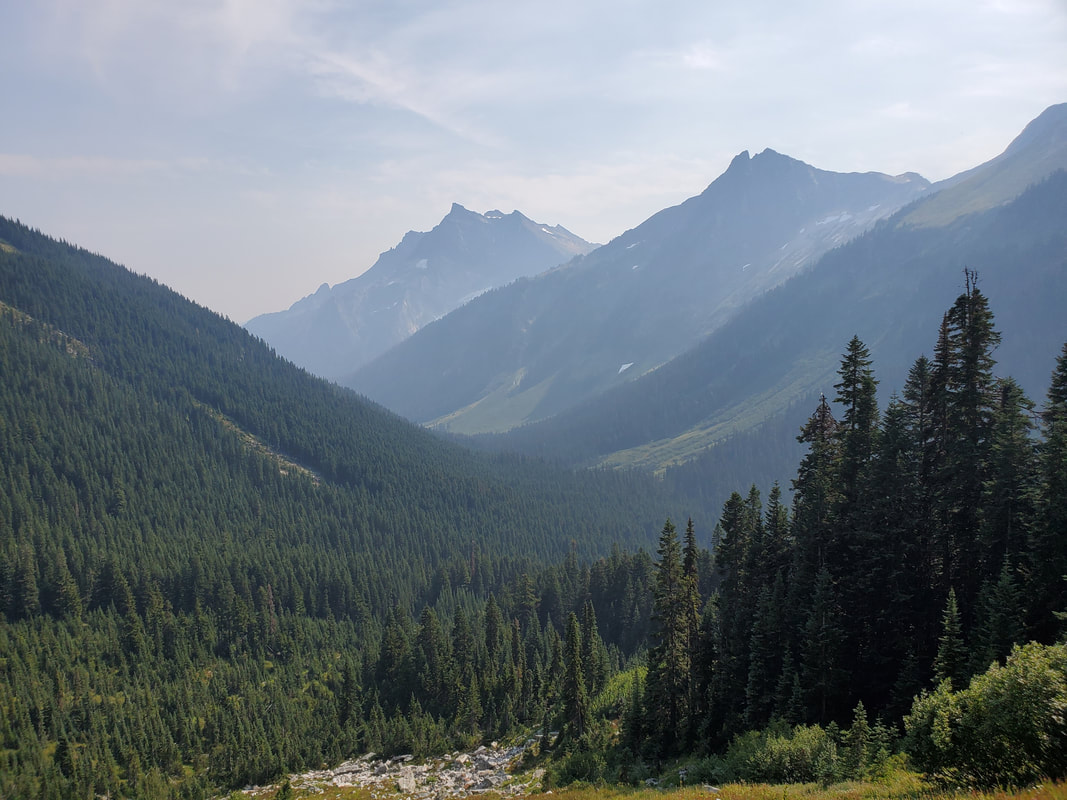
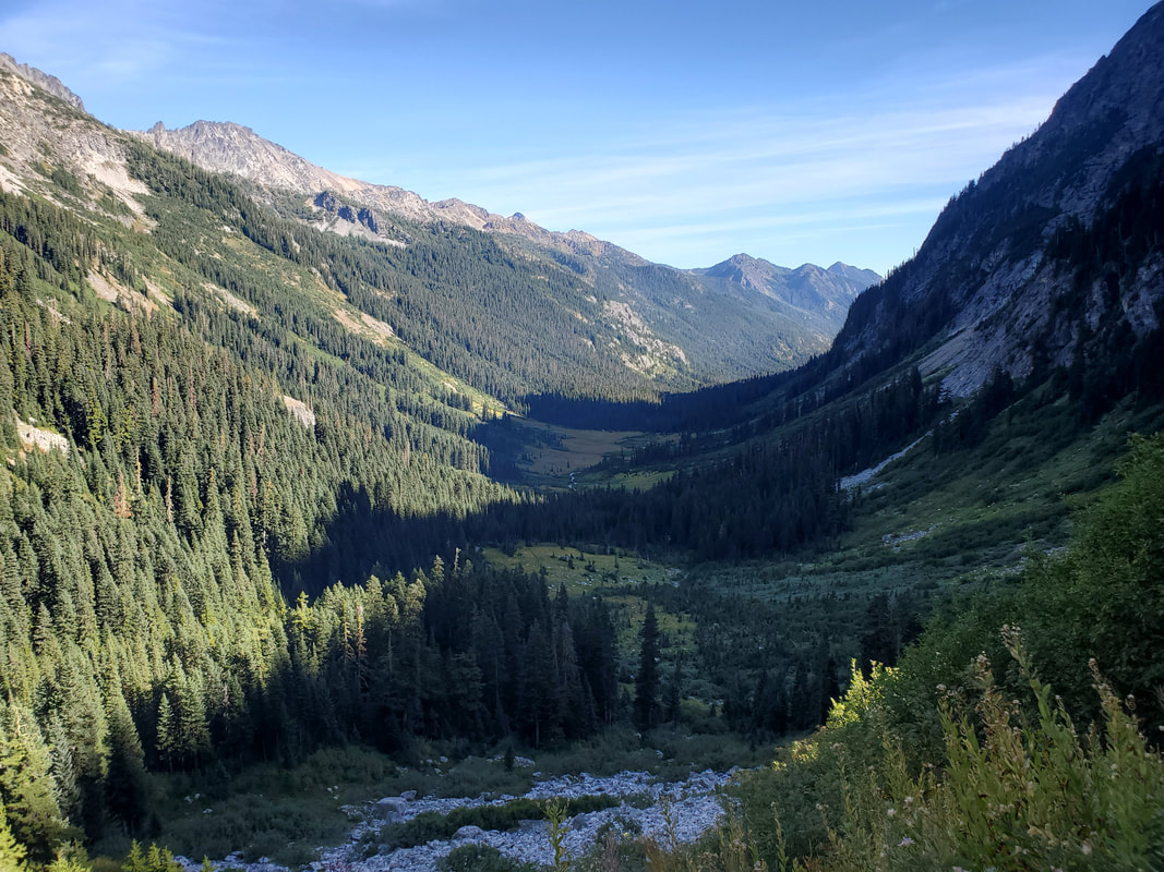
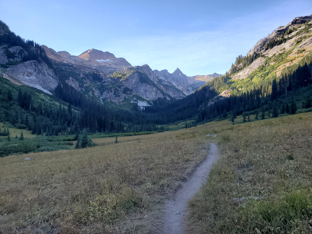
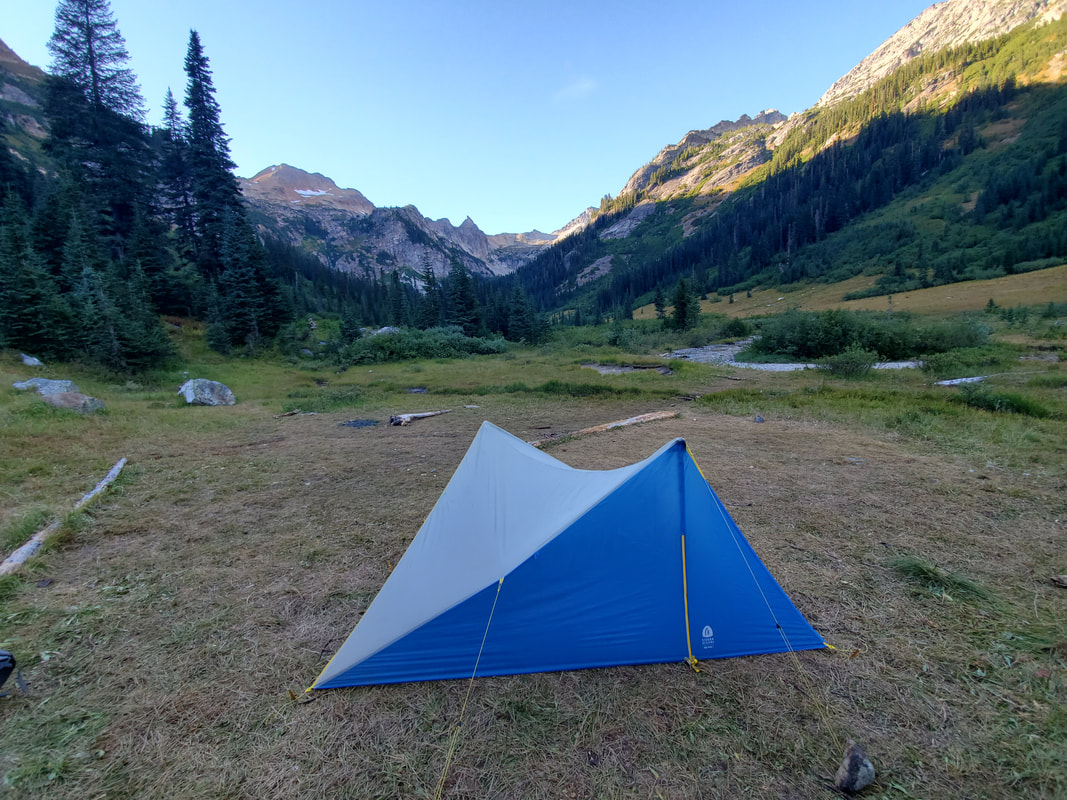
Reaching the end of the snowfield I appeared at the head of the beautiful Phelps Creek valley. I descended a series of switchbacks and enjoyed the walk down the valley and into Spider Meadow where I found an established campsite positioned up from the creek. Today's adventures were absolutely the highlight of the trip and added up for another ~15 miles and +4,300/-5,000 feet of elevation gain/loss.
Day 4
On the prior night I had strategically positioned myself for a short and easy walk out on the final half day. All that remained was a 5.5 mile downhill, forested walk to the Phelps Creek Trailhead. Unfortunately, add to that a gravel and sand filled 3 mile road walk from Phelps Creek Trailhead back to my car at the Trinity Trailhead for ~8 miles and +300/-2,300 feet of elevation gain/loss. I reached my car around 11am, almost exactly 72 hours from when I had originally set out.
Overall, this is a great backpacking loop. You get a bit of everything: valleys, meadows, alpine lakes, multiple mountain passes, some scrambling, off-trail travel, snow travel, and glaciers! Outside of the beautiful, wild scenery, I was happy with my trip planning and execution. Fantastic time and I would love to go back to spend more time on both sides of Spider Gap (Lyman Lake and Spider Meadows).
Overall, this is a great backpacking loop. You get a bit of everything: valleys, meadows, alpine lakes, multiple mountain passes, some scrambling, off-trail travel, snow travel, and glaciers! Outside of the beautiful, wild scenery, I was happy with my trip planning and execution. Fantastic time and I would love to go back to spend more time on both sides of Spider Gap (Lyman Lake and Spider Meadows).
