Necklace Valley to Tank Lakes
Alpine Lakes Wilderness: Mt. Baker-Snoqualmie National Forest
|
|
Based on a recommendation to check out the Necklace Valley (what the heck?!) I started researching. Turns out this is a "gem" of an area to go backpacking in the Alpine Lakes Wilderness about 1.5 hours east of Seattle. I took a quick one night, two day backpacking trip on the weekend to check it out. My only regret is that I did not have a longer time to explore!
Following the East Fork Foss River, it is a long trail hike out and then up to the Necklace Valley. The Necklace Valley is a beautiful hanging valley dotted with alpine lakes that are named after precious gems including: Jade, Emerald, and Opal. In the valley the official trail ends at Opal Lake, but from there you will find endless opportunities for off-trail exploration. I wandered for awhile and then headed further up into the backcountry to Tank Lakes, an alpine flat, to camp for the evening. This trip report covers only my roughly 30 hours of exploration, but there is so much more to see in this area!
Following the East Fork Foss River, it is a long trail hike out and then up to the Necklace Valley. The Necklace Valley is a beautiful hanging valley dotted with alpine lakes that are named after precious gems including: Jade, Emerald, and Opal. In the valley the official trail ends at Opal Lake, but from there you will find endless opportunities for off-trail exploration. I wandered for awhile and then headed further up into the backcountry to Tank Lakes, an alpine flat, to camp for the evening. This trip report covers only my roughly 30 hours of exploration, but there is so much more to see in this area!
Day 1
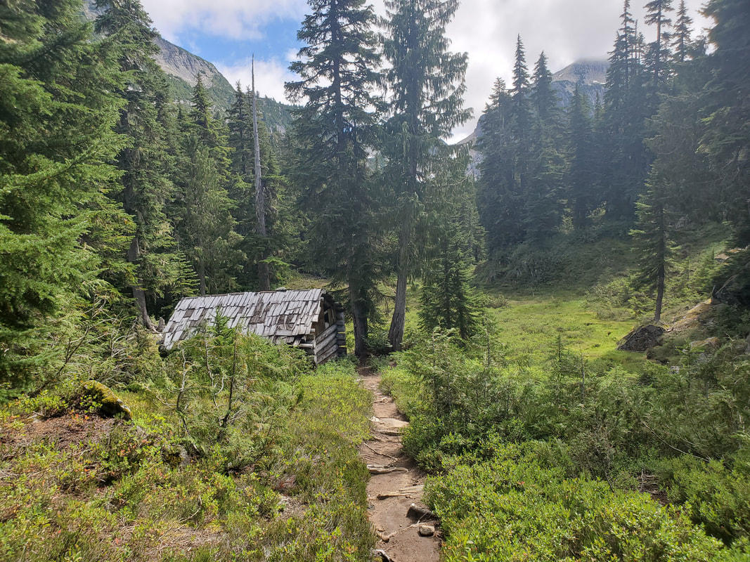
The Necklace Valley Trail starts out flat through forest running along the East Fork Foss River. It is a relatively long entrance through some overgrown, muddy trail sections and a couple stream crossings. After four miles you reach the foot log crossing of the East Fork Foss River and start into the next phase of the hike, a steep and rocky gain of ~2400 feet in three miles to ascend into the Necklace Valley.
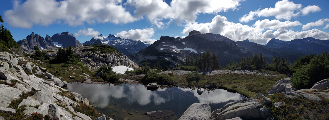
Once you enter the beautiful valley, the trail flattens and meanders past its namesake alpine lakes: Jade, Emerald, and Opal. If you have the time or interest, there are several more lakes to explore via boot paths or off-trail navigation as you make your way south down the valley. I pressed on through this section because I knew there were bigger and better things ahead.
Once you enter the beautiful valley, the trail flattens and meanders past its namesake alpine lakes: Jade, Emerald, and Opal. If you have the time or interest, there are several more lakes to explore via boot paths or off-trail navigation as you make your way south down the valley. I pressed on through this section because I knew there were bigger and better things ahead.
|

|
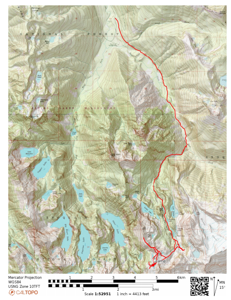
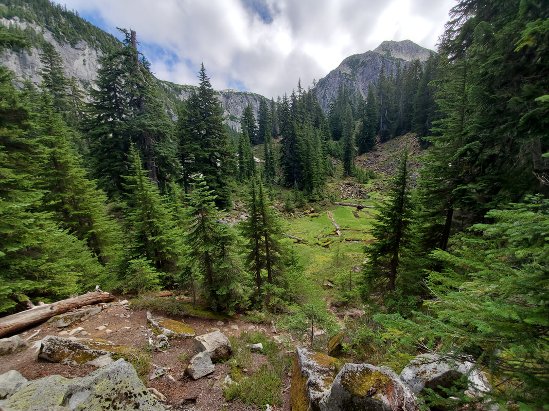
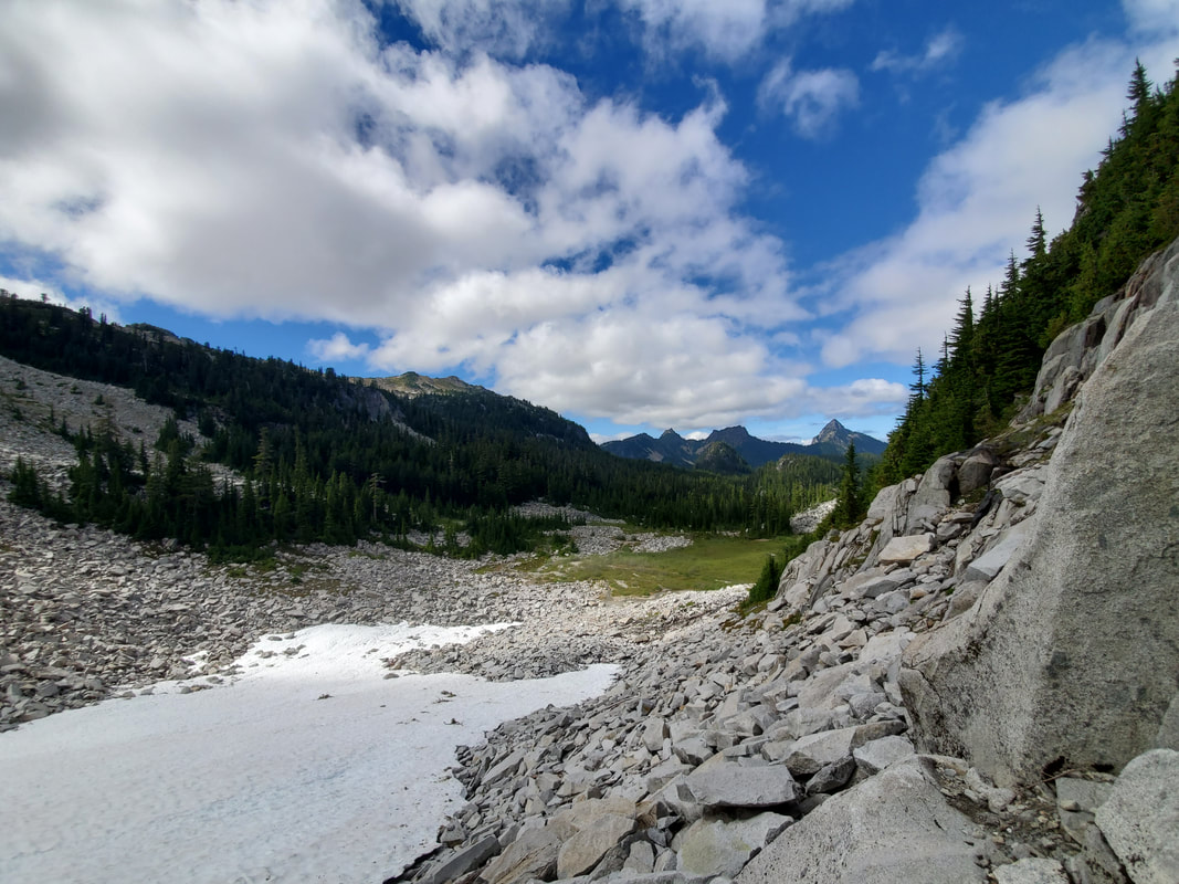
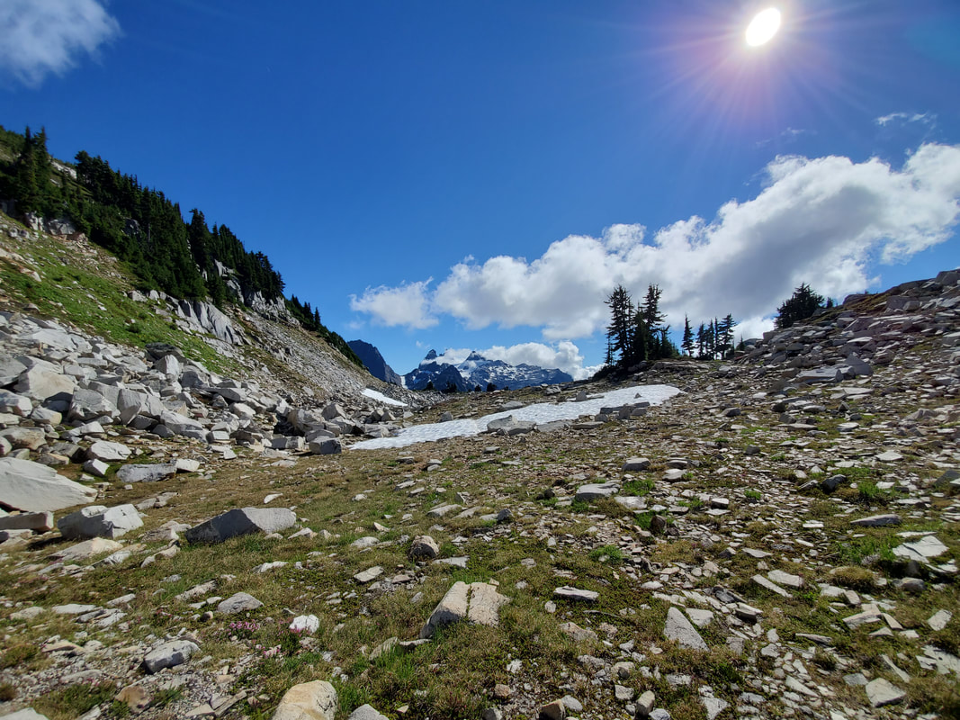
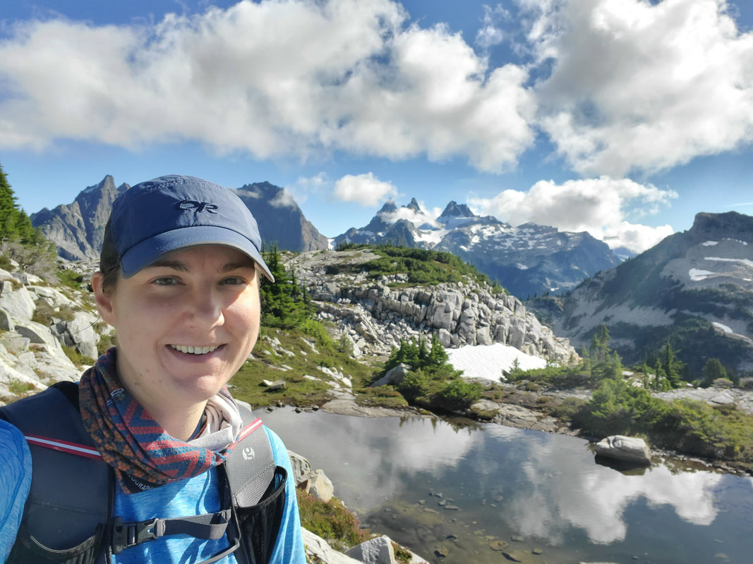
Arriving at the end of Opal Lake, the official trail ends and boot paths fan out in many directions. I knew I wanted to explore the area leading up to La Bohn Gap, so I consulted my maps and headed off in that direction. In a minute I was out of the forest, around a boulder field, and exploring a grassy flat area at the end of the valley. I partially headed up the talus field toward La Bohn Gap to get elevated views looking back north up the valley. Definitely stunning! I took a break, enjoyed the views, and planned my next move.

|
|
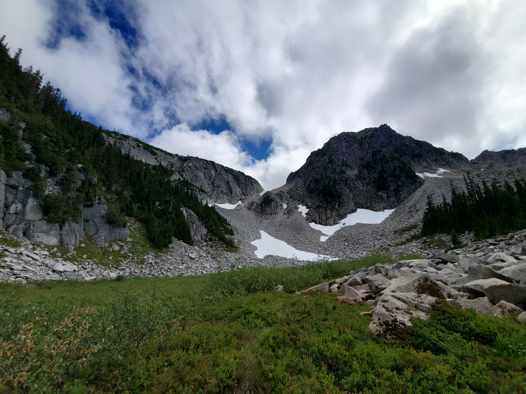
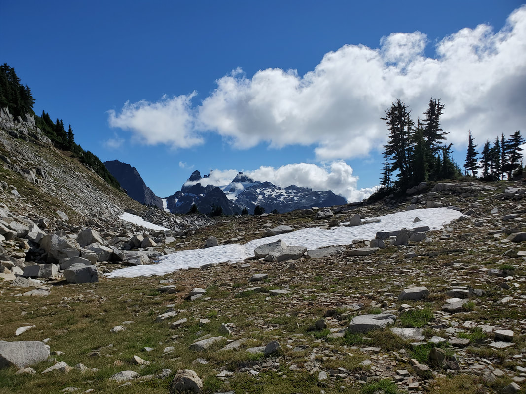
I decided to head further out into the backcountry to Tank Lakes to camp for the night. Scanning the horizon for my route, I noticed the ridgeline leading up towards Tank Lakes and saw other hikers ascending. I then noticed a stream leading off the ridge and flowing all the way down into the grassy, flat end of the valley in front of me. The stream served as a perfect handrail to guide me up to the ridge.
|
|
|
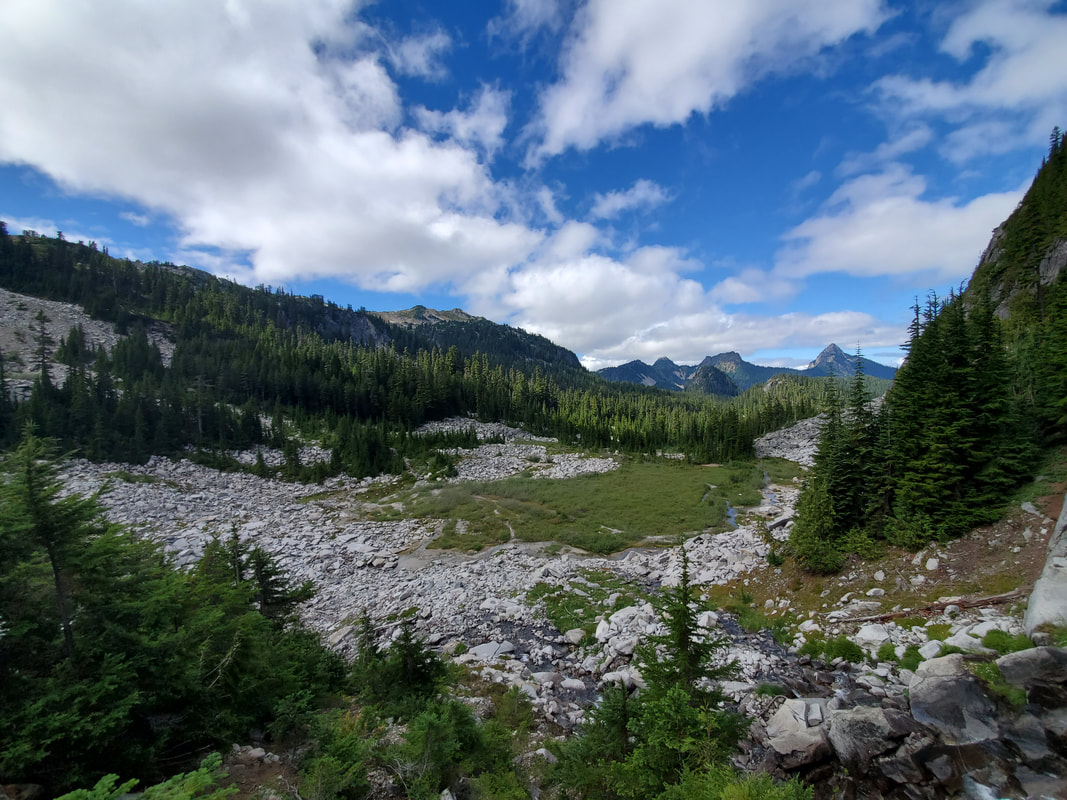
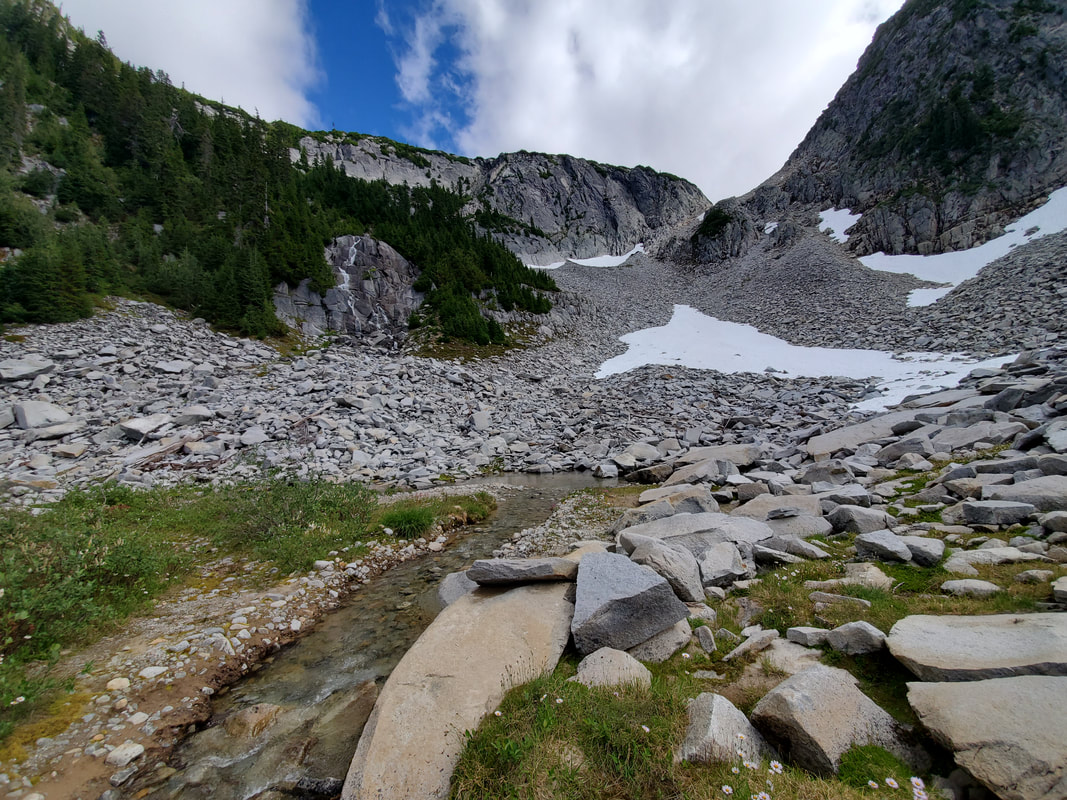
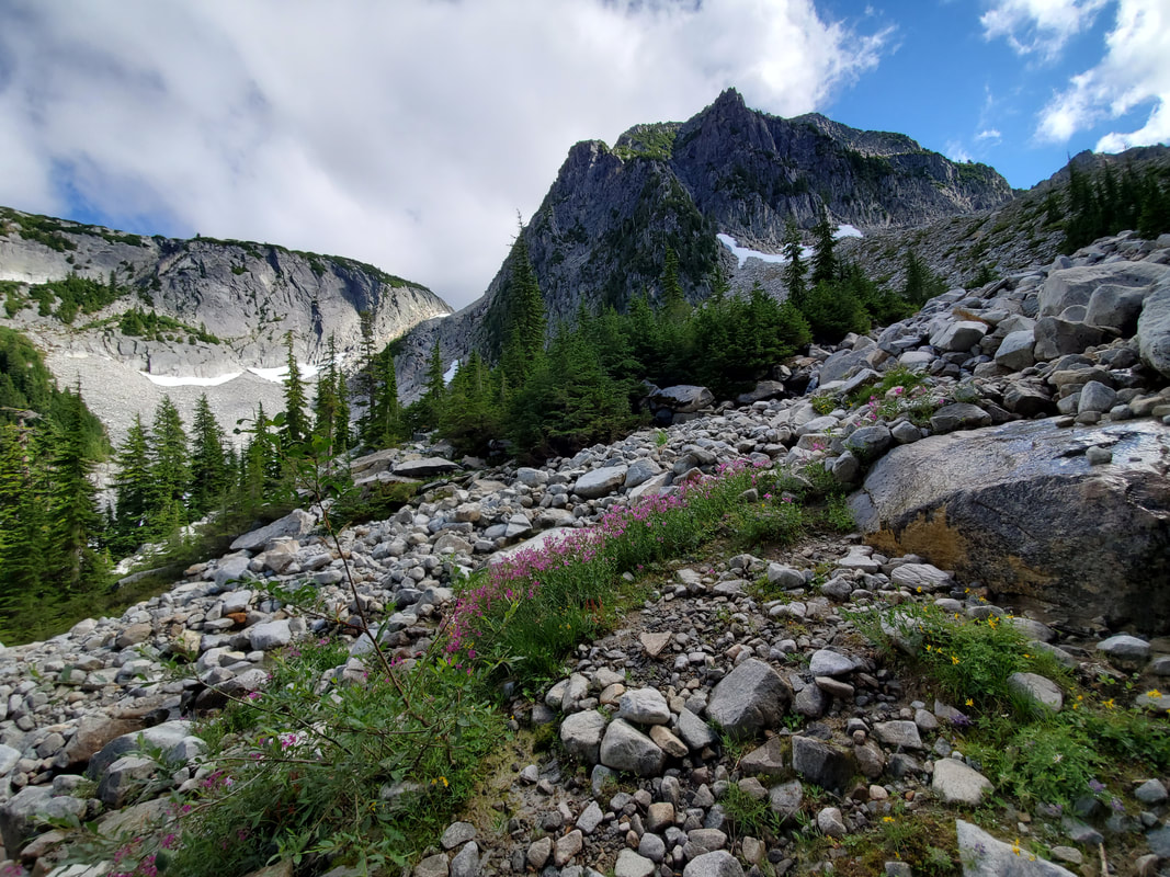
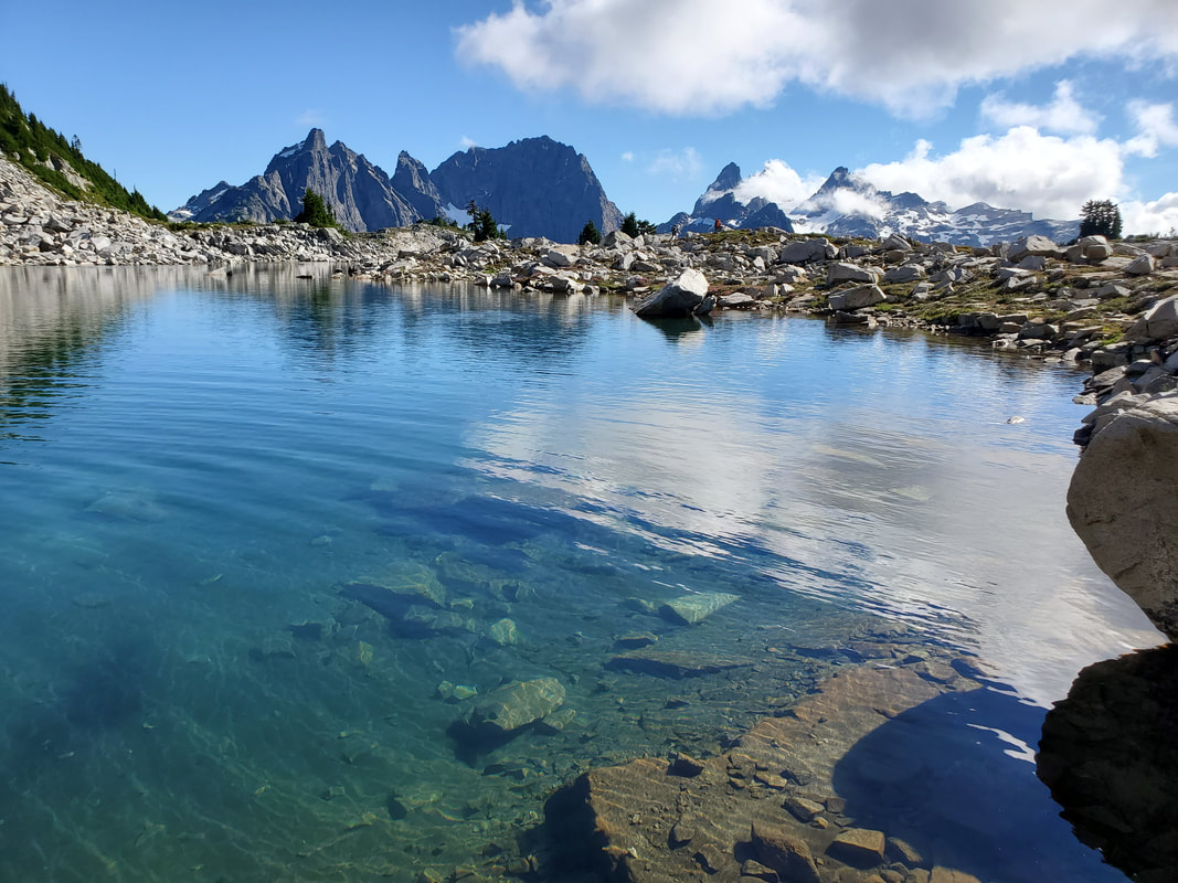
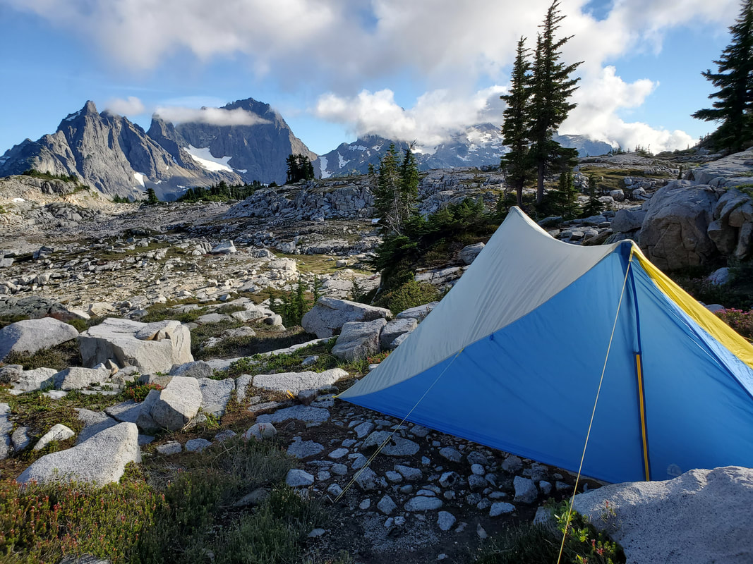
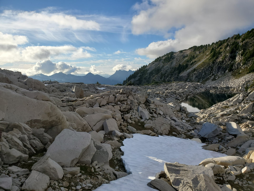
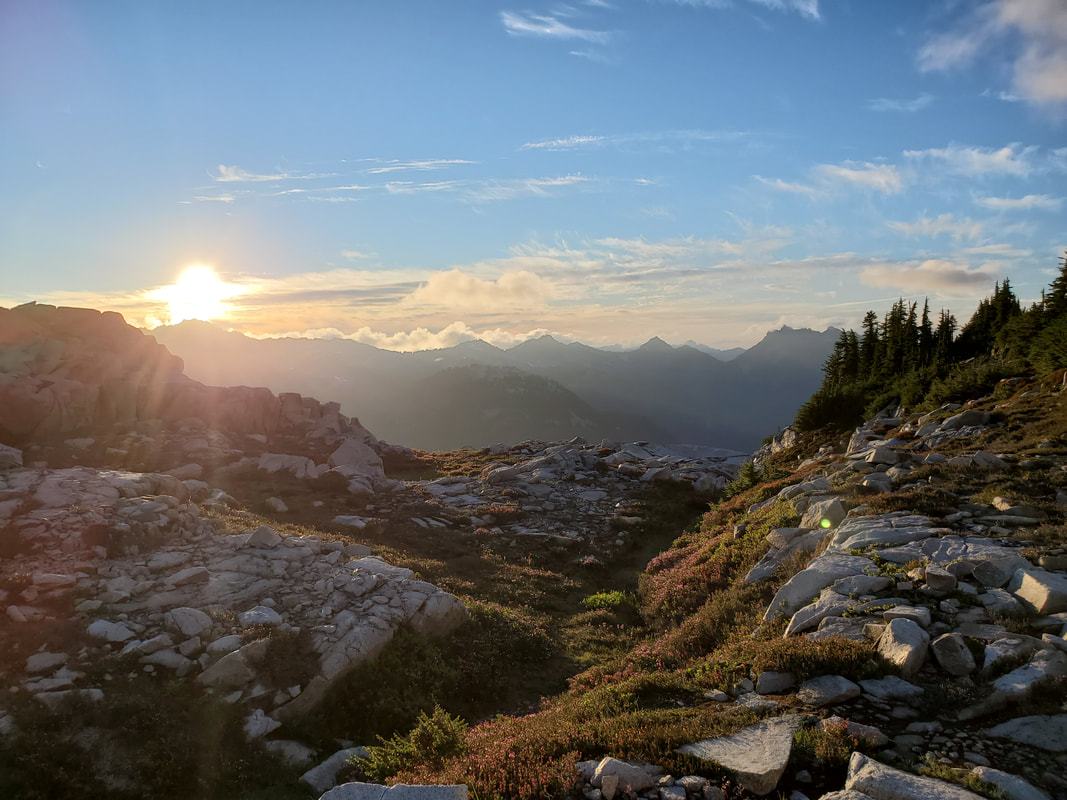
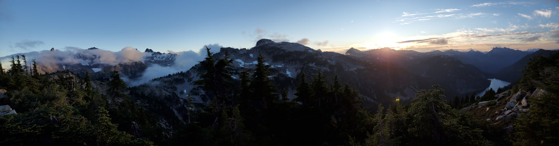
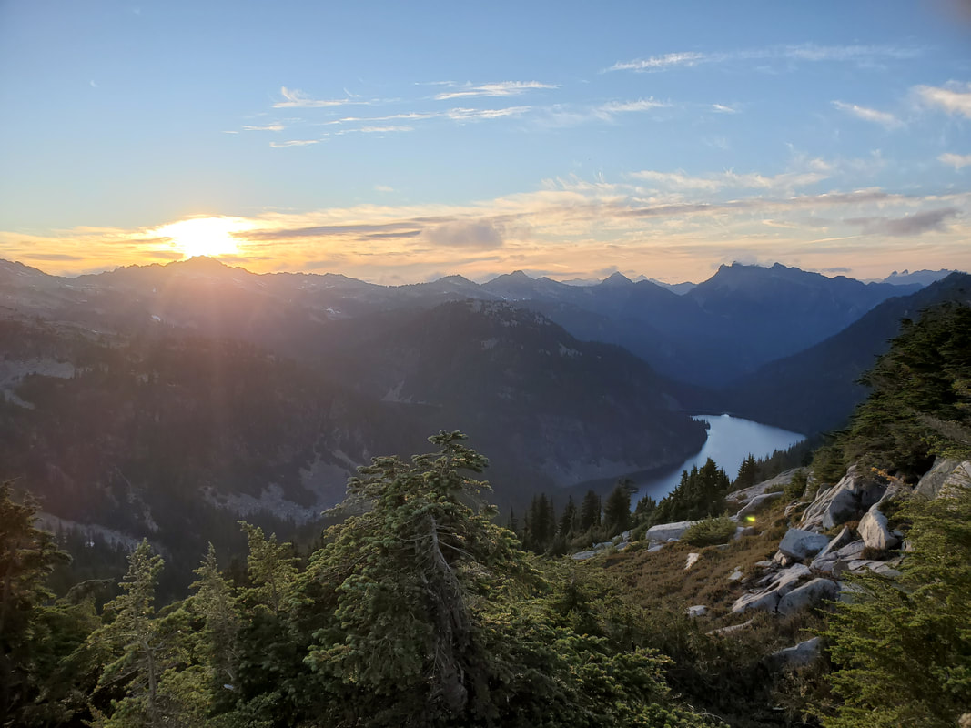
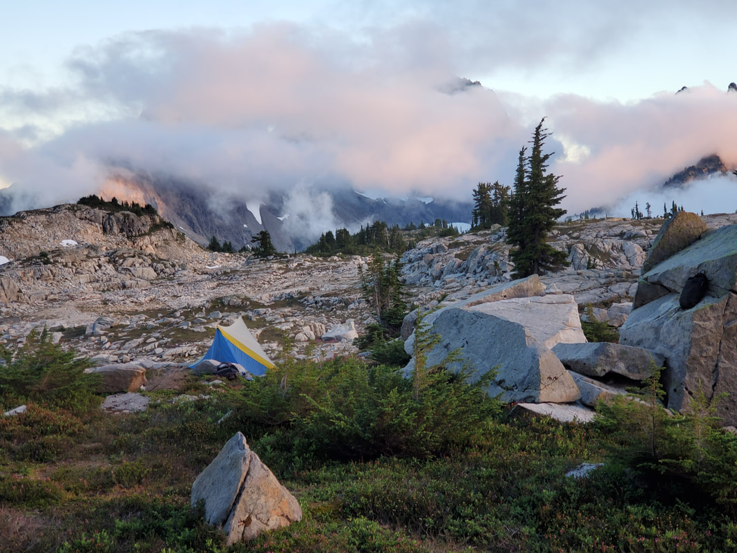
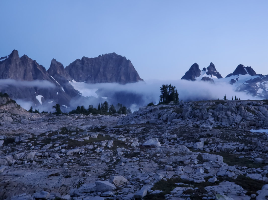
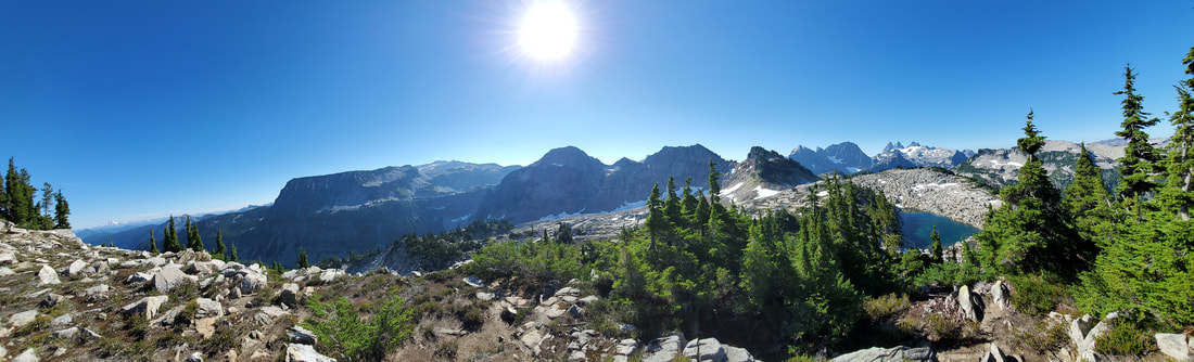
Once ascending the ridge, the landscape dramatically changed. Tank Lakes (two separate lakes) sit on a rocky, alpine flat that is dotted with clumps of evergreen trees, several other lakes, many tarns, and a few year round snow fields. The last push up the ridgeline to Tank Lakes is steep and rocky. Mostly straightforward hiking, although tedious and requiring a bit of class two scrambling (hands and feet) in some places. As you crest the top of the ridge and enter the flatland area, dramatic views of Chimney Rock appear on the horizon. Then suddenly there is Tank Lakes (the first of the two lakes) almost as if dangling on the edge of the flatland at 5,800 feet elevation.
|
|

|
|
|
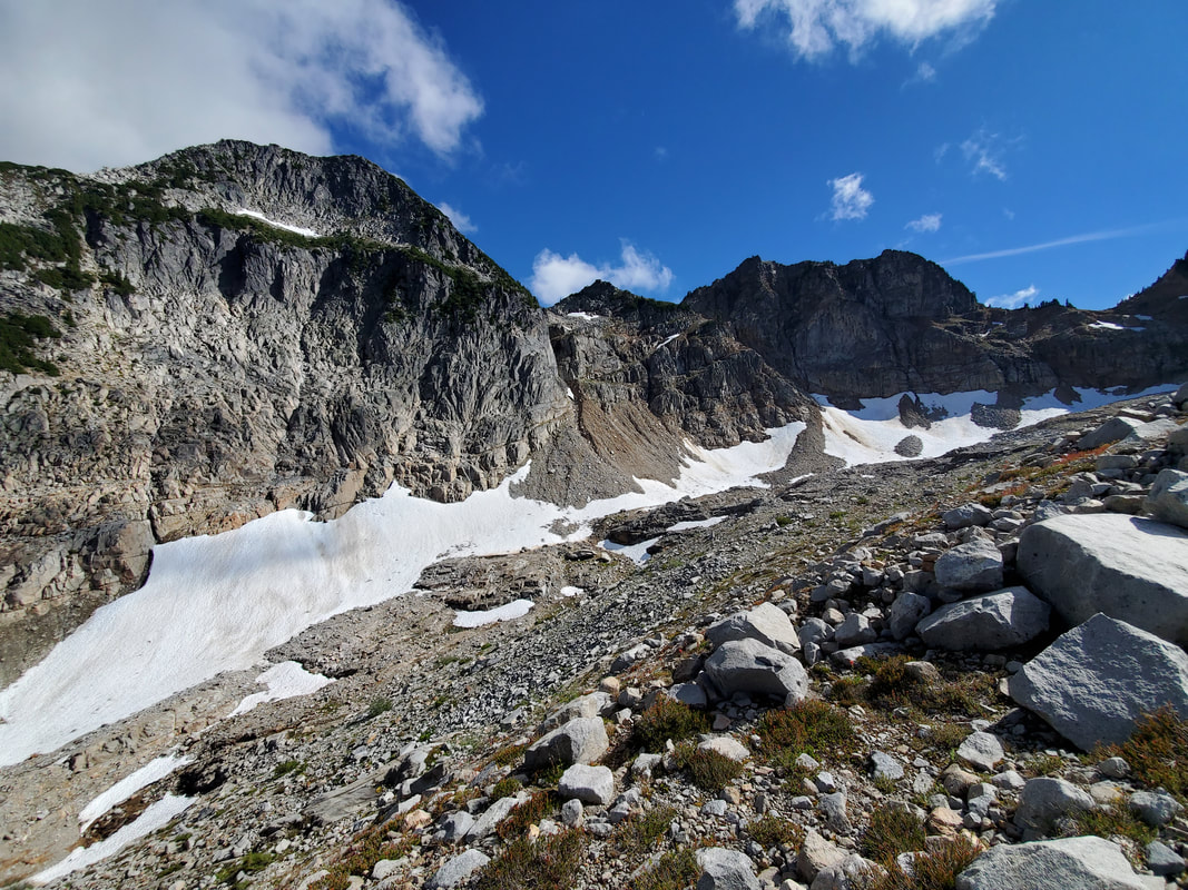
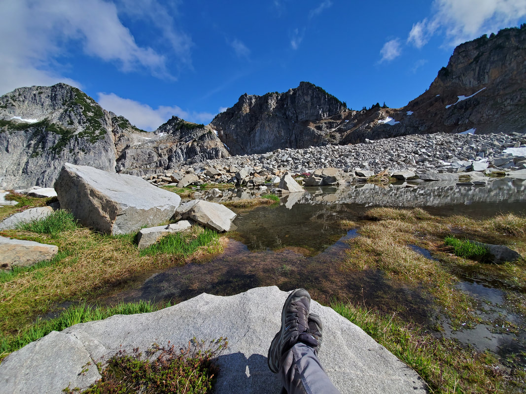
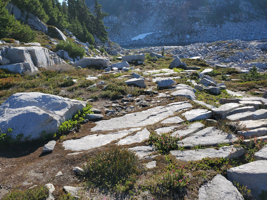
This alpine flat area is truly amazing. Wide open, easy to explore, plus 360 degree beautiful views! After wandering for awhile, I found a prime tent spot (pitched over a smooth flat rock so not to damage the fragile vegetation) and ate dinner. The sun was just starting to fade, so I headed back out to explore more and catch the sunset views. In total, with all the explorations into the evening hours, I had racked up 12 miles and a whopping +5,700/-1,800 feet of elevation gain/decline for the day.
|
|

|
|

|
|
|
|
|
Day 2
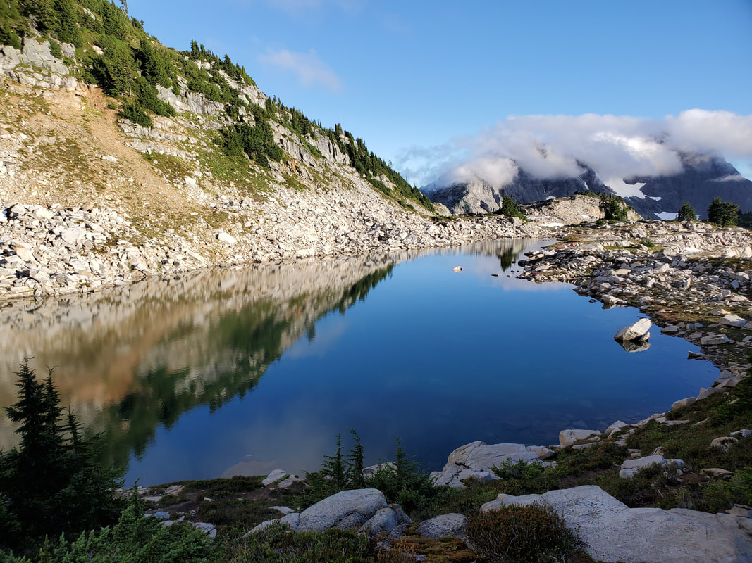
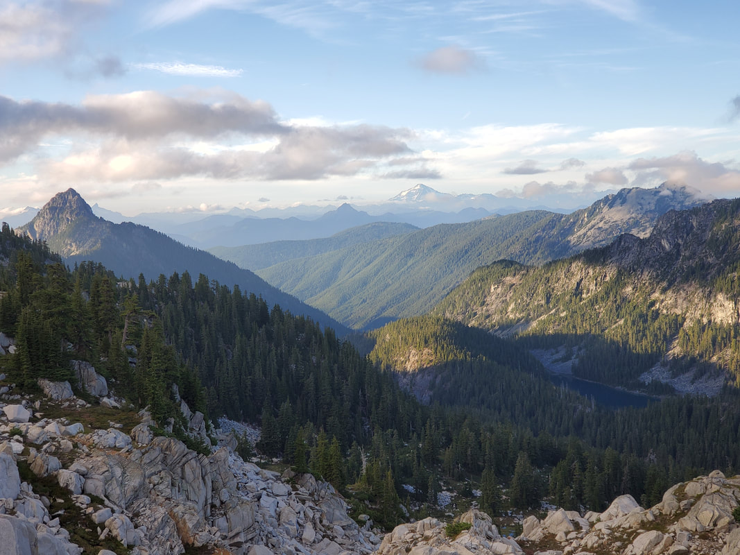
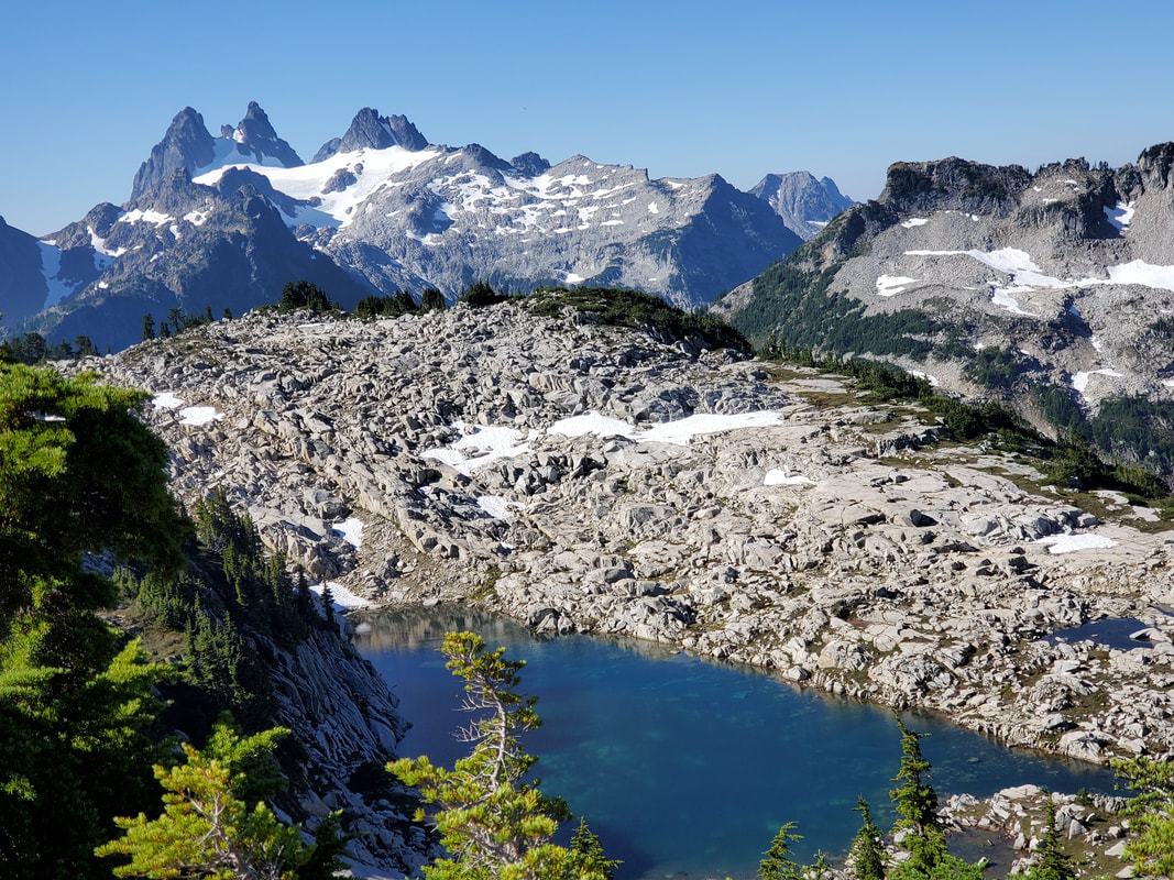
The next morning I packed up camp and decided to hit one more exploration before starting the hike down and out. From the flatland area you can access Otter Point at 6,359 feet elevation. I had scoped it out the night before (on the map and out while exploring) and it looked like a long ridgeline with a series of flat tables up to the higher viewpoint. Turns out, it was easily accessible and I stopped at about 6,200 feet when it turned to a climbing route the remainder of the way. Excellent views over looking Chimney Rock, Tank Lakes (the second lake), and Glacier Peak (plus a host of other mountains).
|
|

|
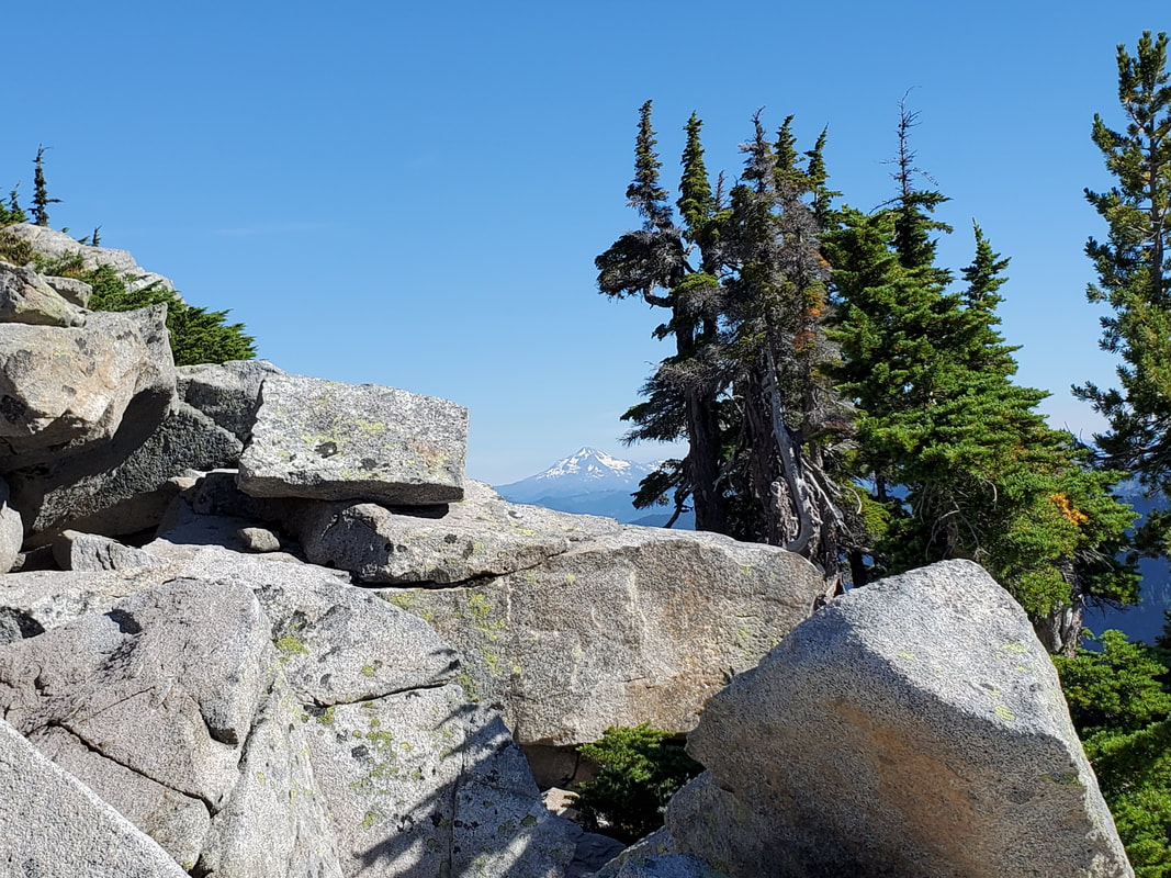
To hike out I cut across the open space and followed a stream to descend parallel to the ridgeline that I had come up, eventually connecting back to the official trail for the long walk. Another ~12 miles today, but this time +1,800/-5,400 feet of elevation gain/decline. I had a fantastic two days exploring this area of the Alpine Lakes Wilderness! The trail entrance is long, with decent elevation gain, but it is absolutely worth it when you get out into the backcountry. There is so much more to explore in this area that I have not touched on in this summary. A return trip is a must one day!