McClellan Butte
Mount Baker-Snoqualmie National Forest
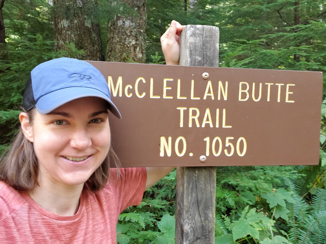
I asked them not to name a mountain after me...but they did it anyway! I just could not resist the bad joke and a selfie with the trailhead sign on this week's McClellan Butte scramble trip. Shortly after moving to Seattle, I learned of two nearby mountains named McClellan - McClellan Butte and McClellan Peak. I put both on my bucket list because of course I have to climb my namesake mountains!
The History
McClellan is not an overly common last name, so I was curious who these two mountains were actually named after. I figured there had to be a story and a quick Google search was all it took to find out. Both mountains are named for George B. McClellan, a person I was already familiar with from my time living in Alabama. For Alabama natives, Fort McClellan, in Anniston, AL, was named for the same George B. McClellan. While living in Alabama, I was often asked if I was related to this Fort McClellan general (nope). For history buffs or non-Alabama natives, McClellan is best known as a mediocre Civil War general who led Union troops in Virginia and Maryland campaigns, including the Battle of Antietam.
Before becoming a general, McClellan was sent on military assignment to Washington state to locate a viable railroad passage through the Cascade Range to the Pacific Ocean. Turns out McClellan had been mediocre in this assignment as well. He failed to locate a pass through the range and was quickly relieved of his duties. McClellan never set foot on either of his namesake Washington mountains, however his legacy in the Pacific Northwest clearly still lives on. For more of the story on George B. McClellan, check out this article.
McClellan Butte is located about 45 minutes east of Seattle on the Interstate 90 corridor. Interestingly enough, Interstate 90 is the modern day passage through the Cascades which follows the original railroad route that McClellan's successor, Tinkham, successfully discovered. If that is not ironic! As for McClellan Peak, it is located further east in the Alpine Lakes Wilderness and forms part of the Stuart Range that overlooks the Enchantments lake basin. McClellan Peak offers magnificent scenery, but requires a more involved off-trail, scramble route...a project for next summer.
The Butte
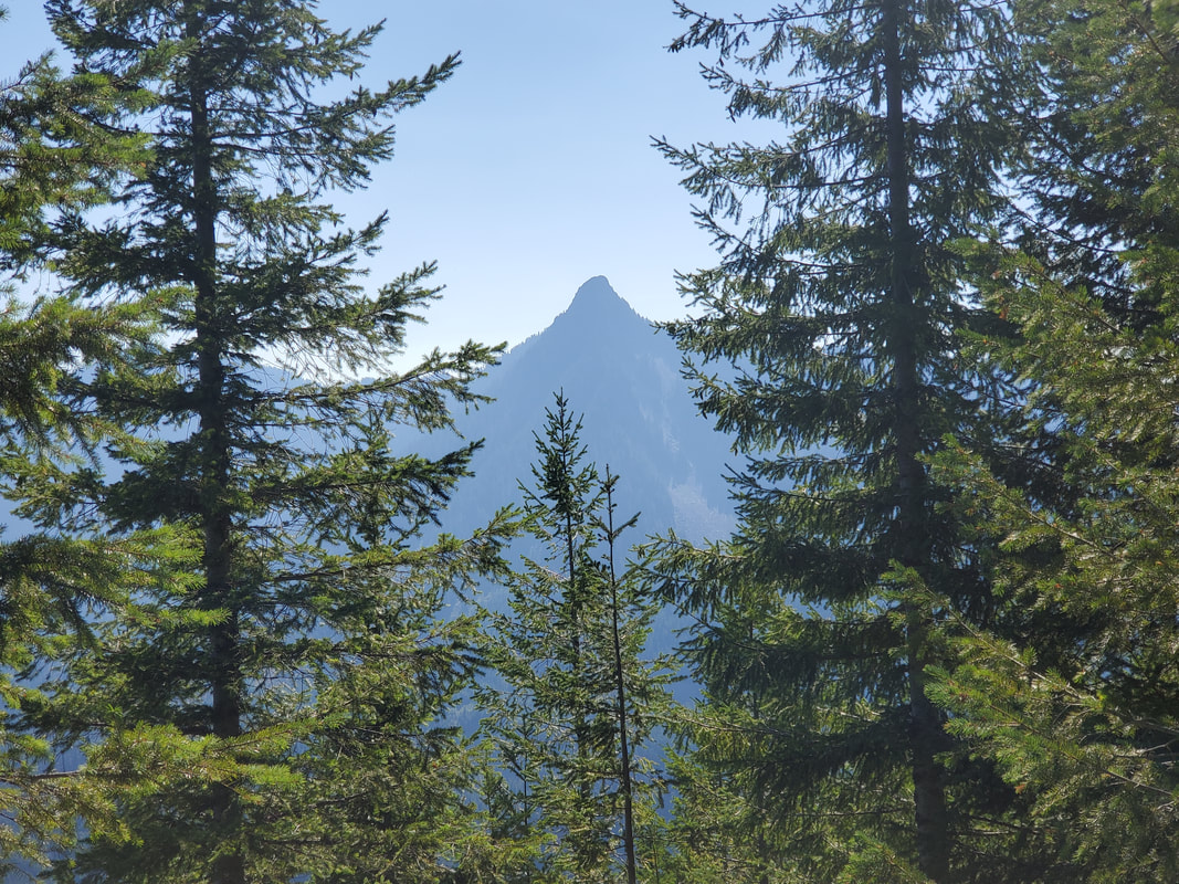
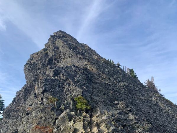
I finally got the right opportunity to summit McClellan Butte this week as part of a Mountaineers group scramble. Our trip leader, Chris, arranged the special occasion entirely on my behalf. I had met Chris a few weeks prior on our Mount Adams trip and he had suggested McClellan Butte as a great, intermediate scramble experience. I jumped at his offer to arrange a Mountaineers outing so I could test my skills and check a "McClellan" off my bucket list. According to Wikipedia, a butte is an isolated hill with steep sides and a small, relatively flat top. I found all of these aspects to be true of McClellan Butte! It has a very distinguishable shape, almost like someone giving a "thumbs up" over Interstate 90. Once you know what the mountain looks like, it is impossible to not notice it each time you drive by.
The Route
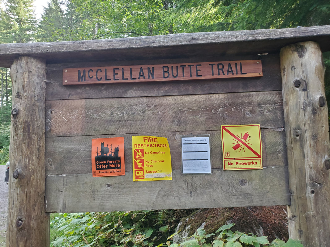
Our group - Chris, Erica, Evie, Victoria, and myself - completed the trip as a late afternoon, weekday scramble. Given the afternoon start, we shortened the route by driving out Forest Service Road 9020 and parking at the junction where the McClellan Butte Trail crosses over the road. From the road crossing, the trail up to the base of the summit block is a steep 3.5 mile hike. We struck a fast pace and the hike up passed easily thanks to many peek-a-boo views and the lively banter between our group members.
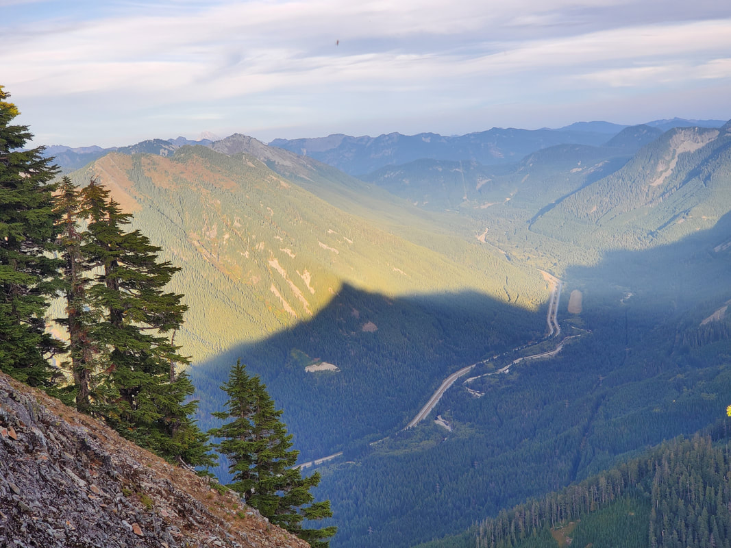
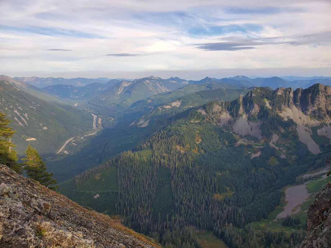
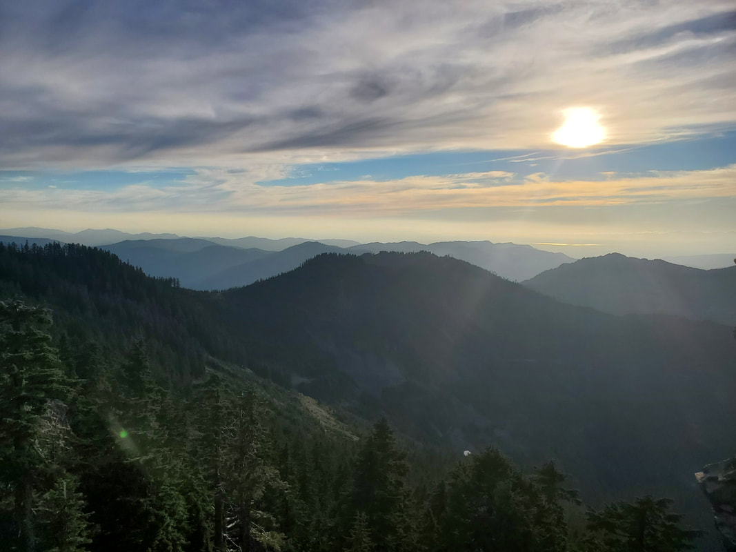
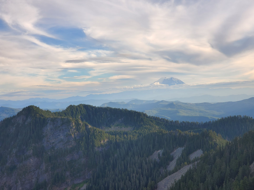
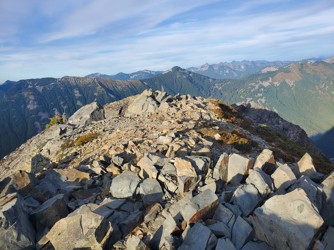
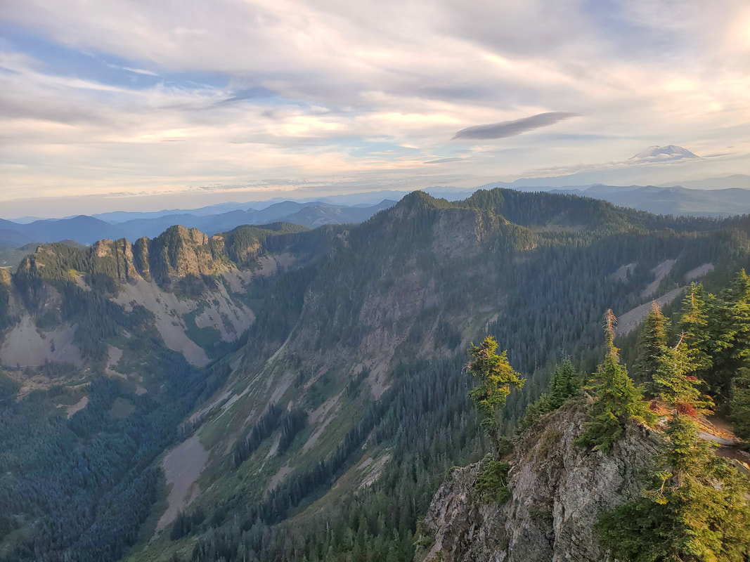
Once reaching the base of the summit block, we could see up and down the Interstate 90 corridor, Mount Rainier to the south, and the Cascade Range to the east. This vantage point gives worthy views and many who hike the McClellan Butte trail will stop here. To reach the true summit, the route turns into a rock scramble up the remaining ~50 feet of the summit block. The first rock pitch is fairly steep, but there are plenty of good handholds and footholds leading up to a false summit. After that, the scramble flattens out and traverses a short distance over to the true summit at 5,108 feet elevation.
The Summit
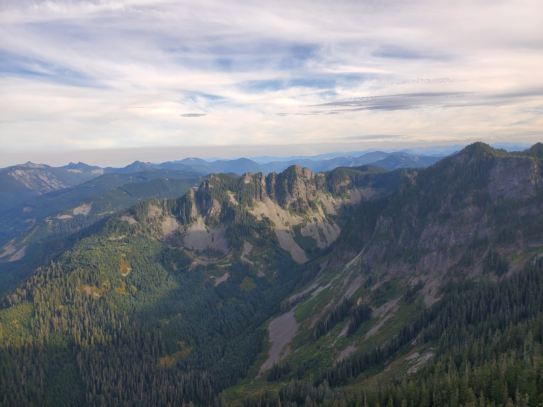
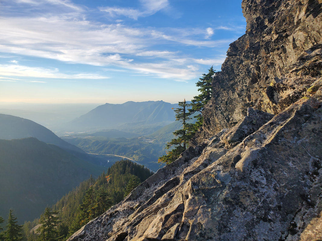
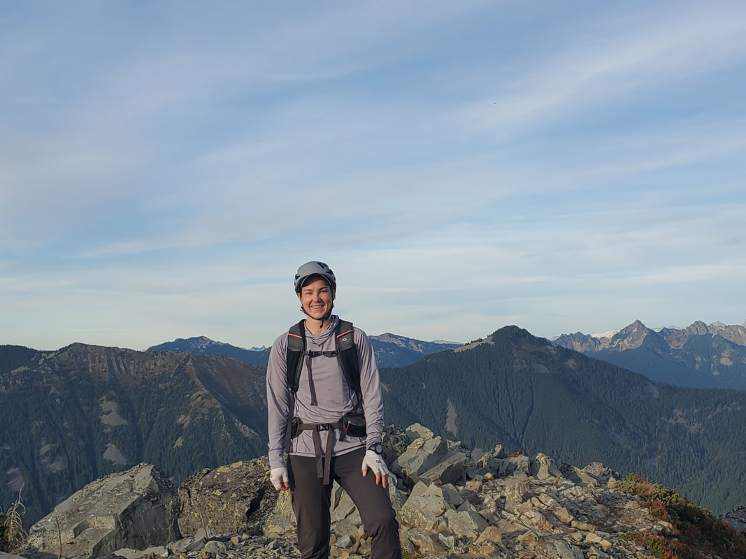
Reaching the summit of McClellan Butte - I claimed my mountain! The 360 degree views from the top were fantastic and layers of mountains were visible on the horizon in every direction. I may be biased to McClellan of course, but I think its 360 degree summit views are better than many of the other neighboring peaks. I am always in awe when a short drive/hike/scramble can put you in such a vantage point. But, in the Pacific Northwest, it is just a casual Thursday evening! Never gets old!
The End
Our descent back down the trail was uneventful, except for the excitement of turning on our headlamps as the darkness beat us back to the car by 30 minutes. The trip was good scramble experience plus the weather, views, and group company made for a nice evening. And of course, it was just a lot of fun to say...McClellan summited McClellan.
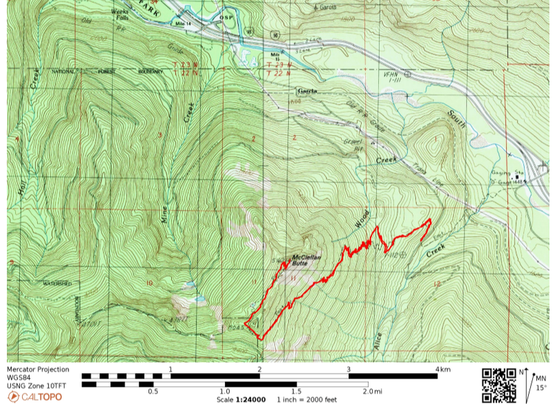
View the below map with our route tracked via my GPS watch.
View the below map with our route tracked via my GPS watch.
