Camp Muir
Mount Rainier National Park
Camp Muir, elevation 10,100 feet on the southeast side of Mount Rainier (Tahoma), is highest point on the mountain accessible without a climbing permit. The ascent to Camp Muir is steep and requires proper snow travel and navigation skills, but it does not require roped travel or glacial travel (which all points above on the mountain require). There are multiple routes up the sides of Mount Rainier, but Camp Muir serves as one of the primary, and probably most popular, high camps for summit attempts.
I'm not sure when I first heard about hiking up to Camp Muir, but I think fairly shortly after I moved to Seattle. At the time it seemed like something mythical or absolutely not in the realm of possibility for me. Flash forward two years and I'm standing at Camp Muir after (dare I say) a relatively easy and quick ascent. I pinch myself a lot when I think about my outdoors skills and experience growth over the last two years. Standing at Camp Muir was one of those surreal moments for sure.
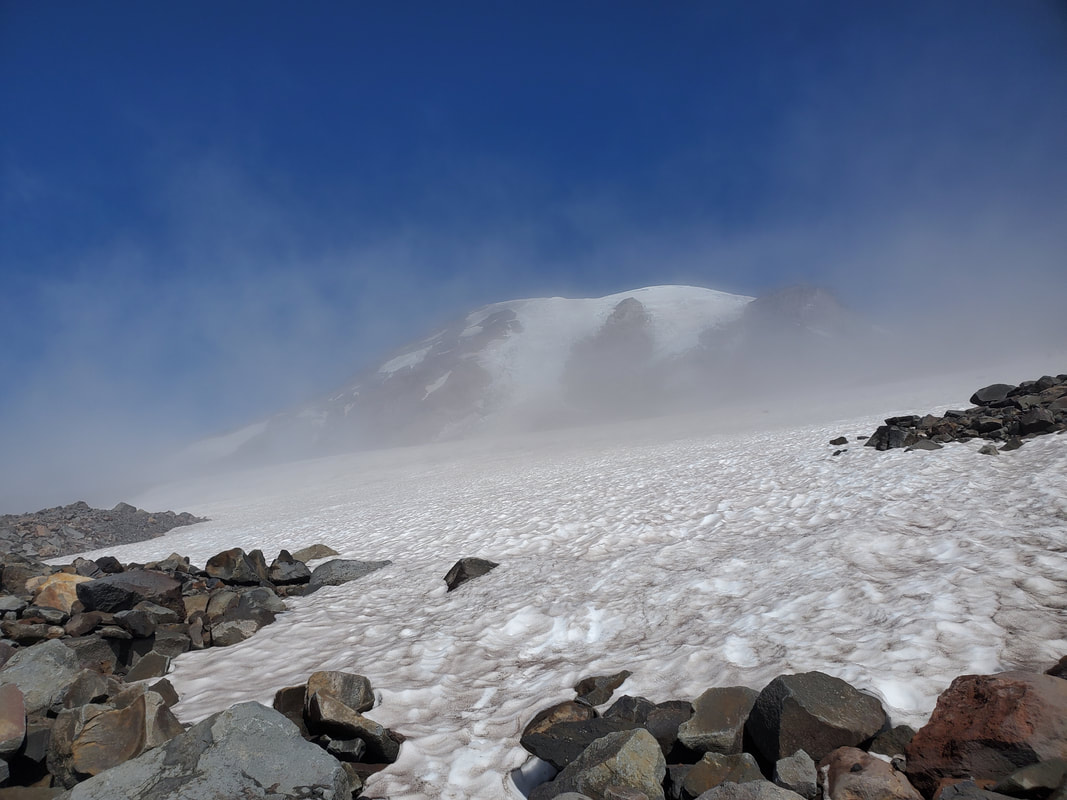
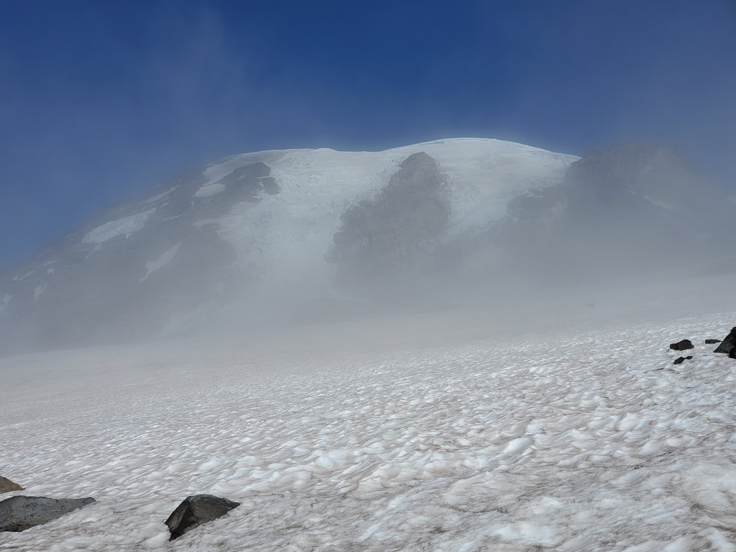
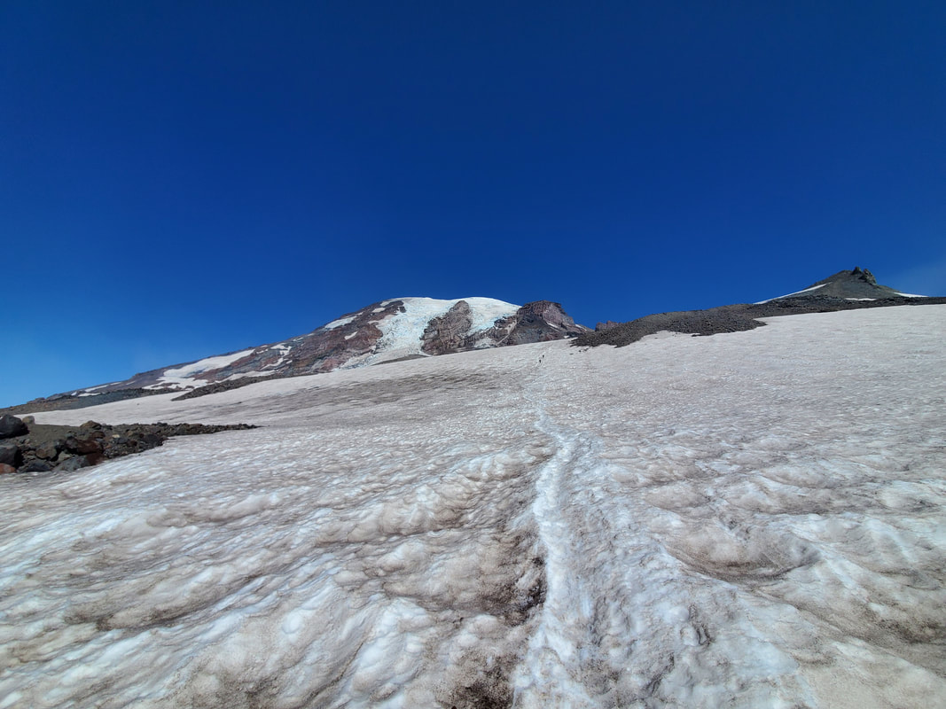
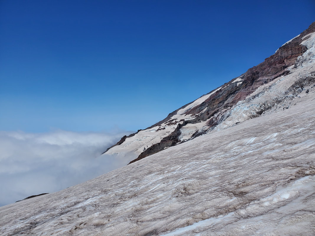
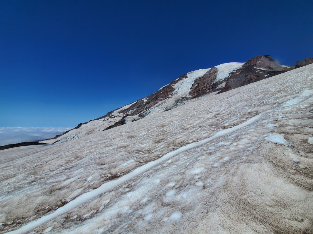
On this weekend I was in the market for a specific training need - short, steep, with snow, and at elevation. Camp Muir fit the bill perfectly at just 4 miles and 4,680 feet of gain up the Muir snowfield to an elevation of 10,100 feet. I only used micro spikes and trekking poles up the Muir snowfield because the snow was soft and the slope of the snowfield is very gradual (just feels like a long walk up a moderate incline). GPS maps, navigation skills, and tracking of your route up the snowfield is absolutely critical. There were a few glissade chutes around, but many were trampled by footsteps, running out into rocks, or obscured by the clouds below. I deemed glissading "out" and just made the full effort to walk the entire way back down the mountain. Check out the pictures below which show the progression of my trip from white out conditions, up to bluebird skies, and back down into the white out again.
Heading Up in a White Out
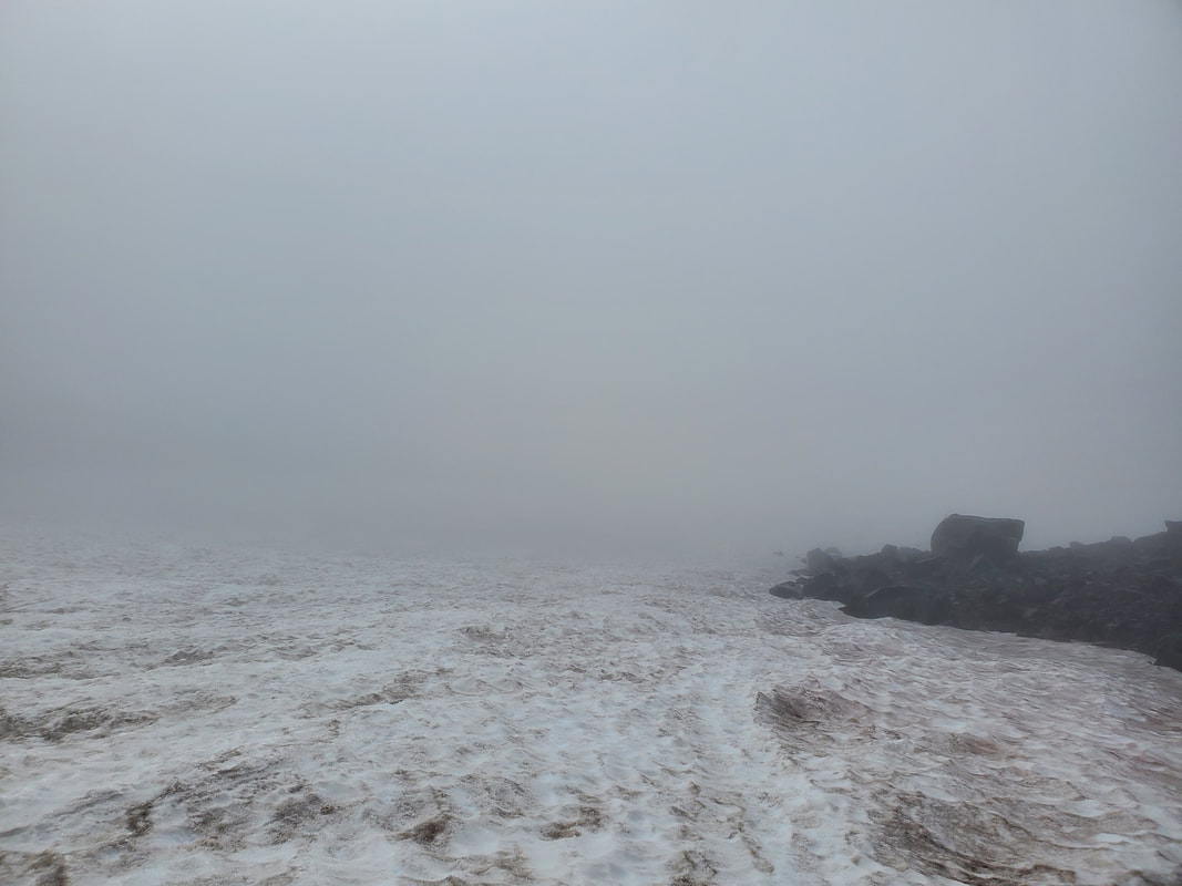
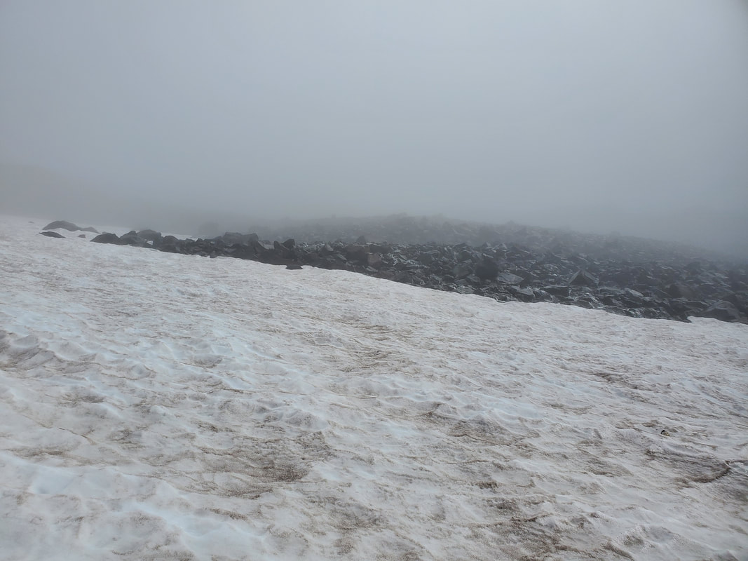
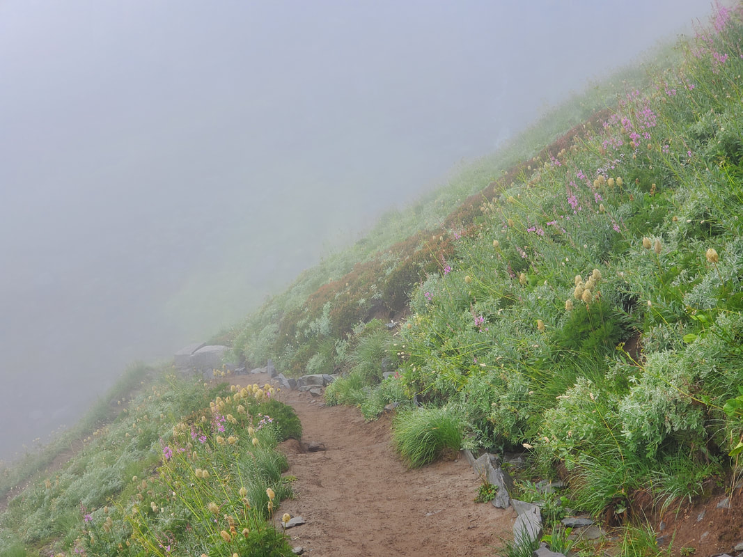
Starting out in the Paradise area of Mount Rainier, the trails through the meadows are now completely snow free and full of wildflowers. The trail ends when it reaches the permanent Muir snowfield which runs the remaining ascent to Camp Muir. I experienced complete white out conditions from Paradise Visitor Center (~5,400 feet) up to ~8,000 feet on the Muir snowfield. There was also a very light Pacific Northwest mist to go along with the clouds. The Pacific Northwest mist is the kind where you really do not need a rain jacket. It is only after awhile that you realize you are getting slightly wet. Good thing I was going above the clouds! Since this is a popular route, the boot path through the snow was always fairly obvious despite the white out conditions.
Climbing Above the Clouds
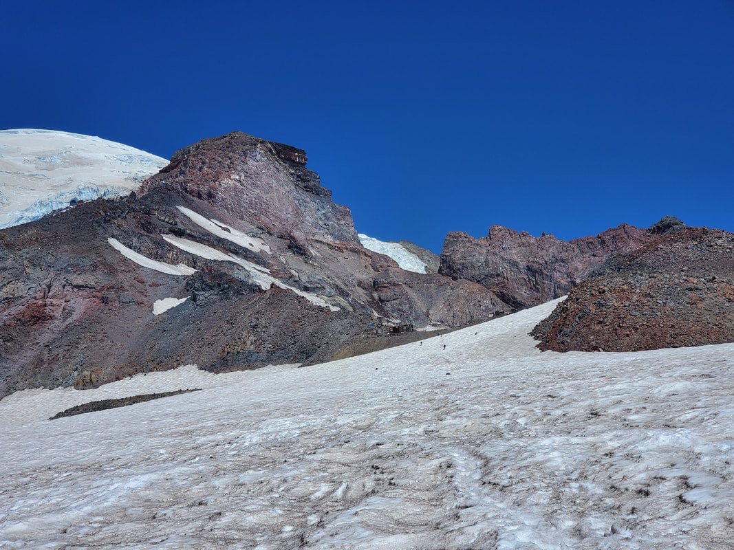
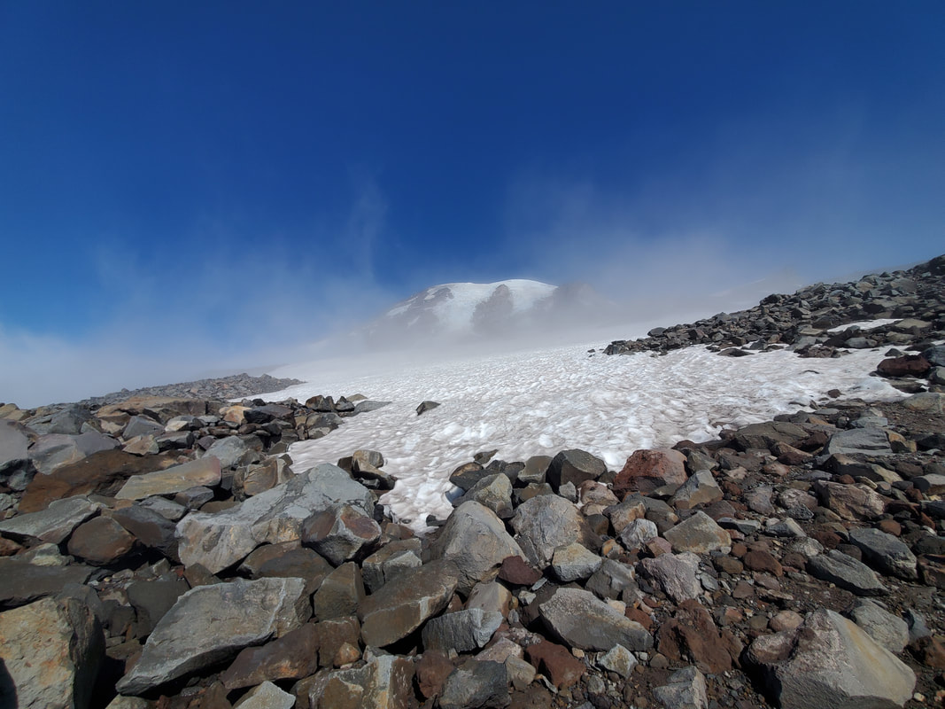
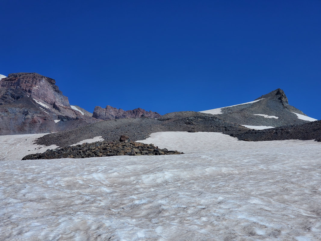
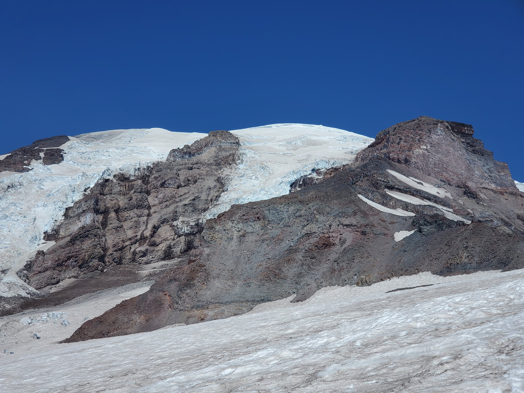
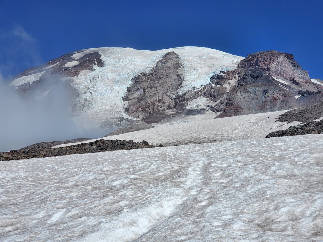
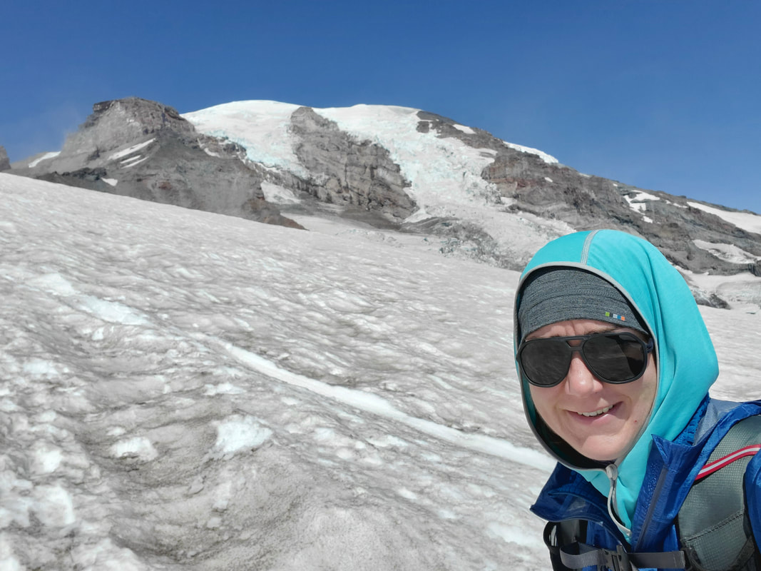
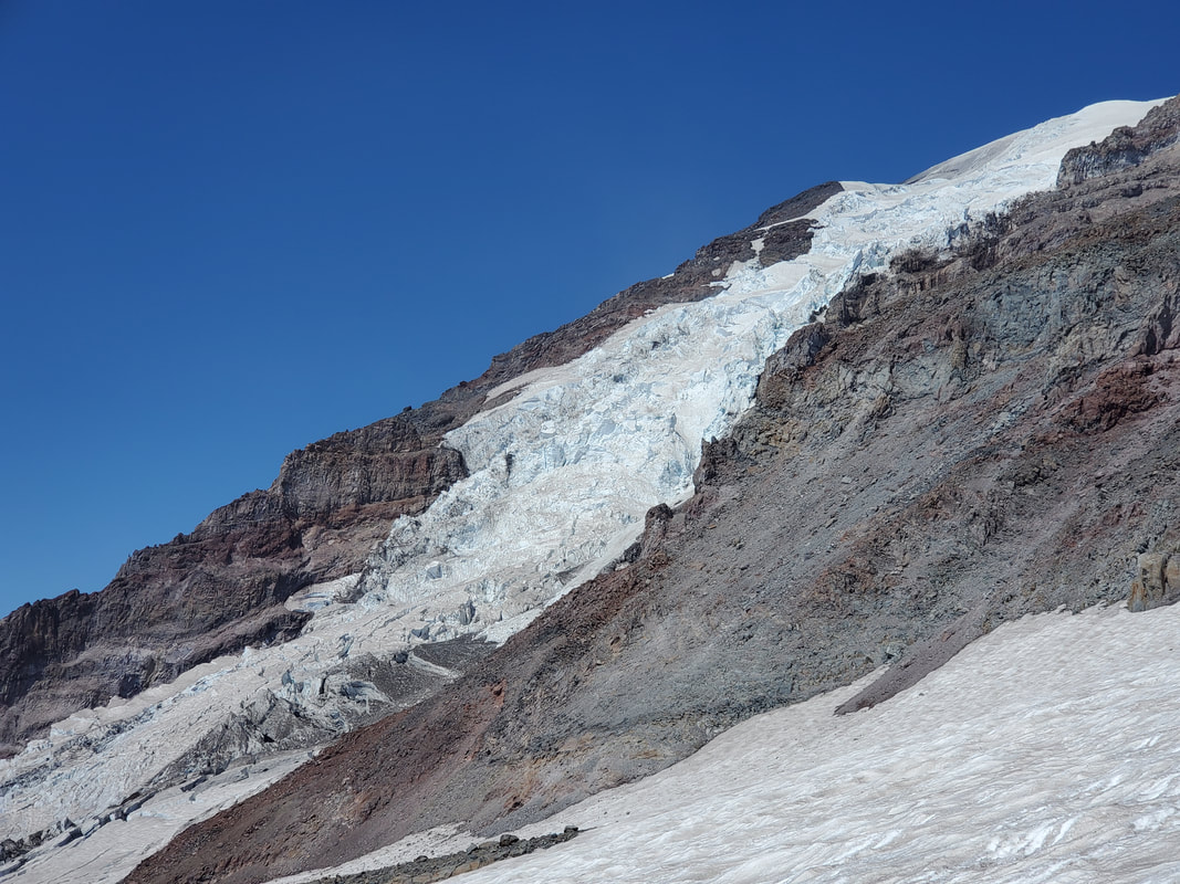
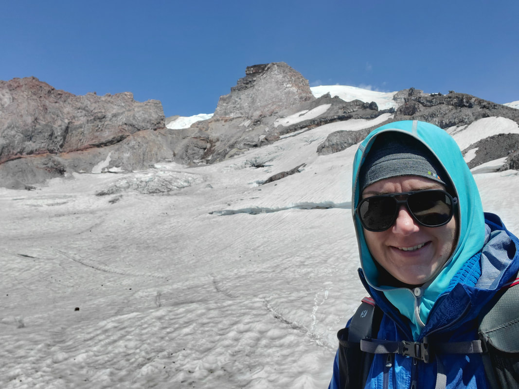
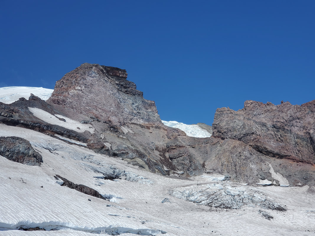
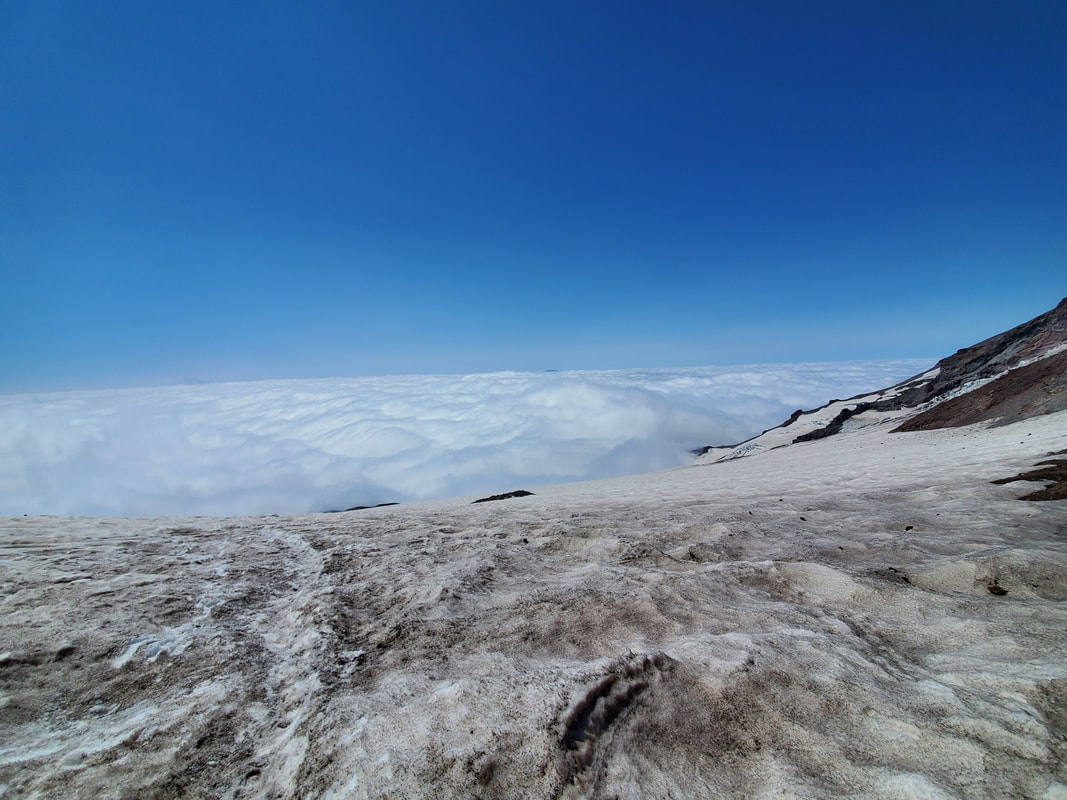
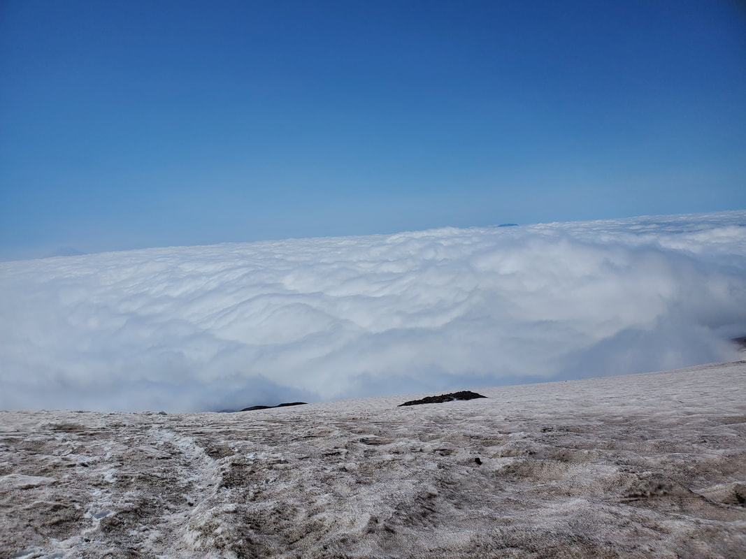
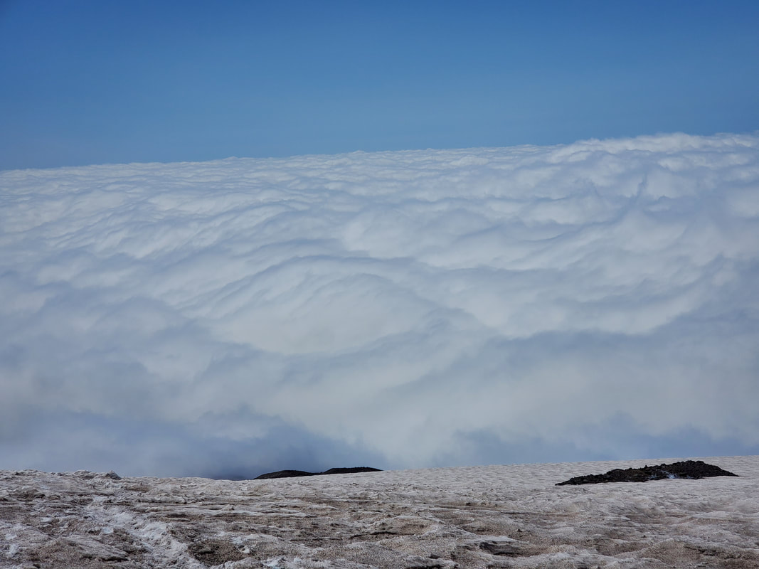
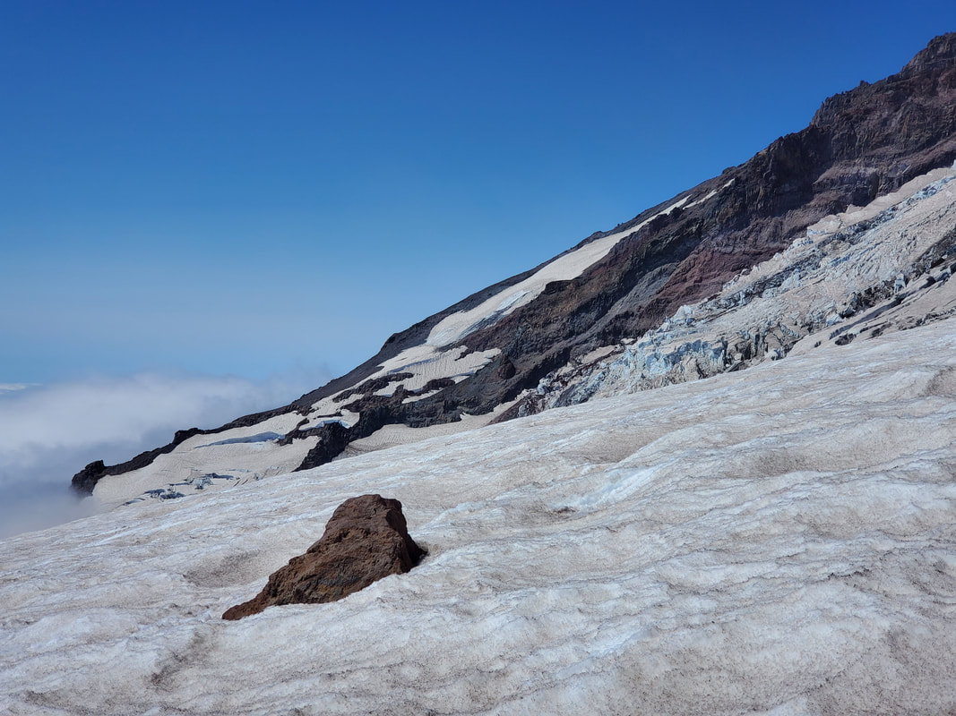
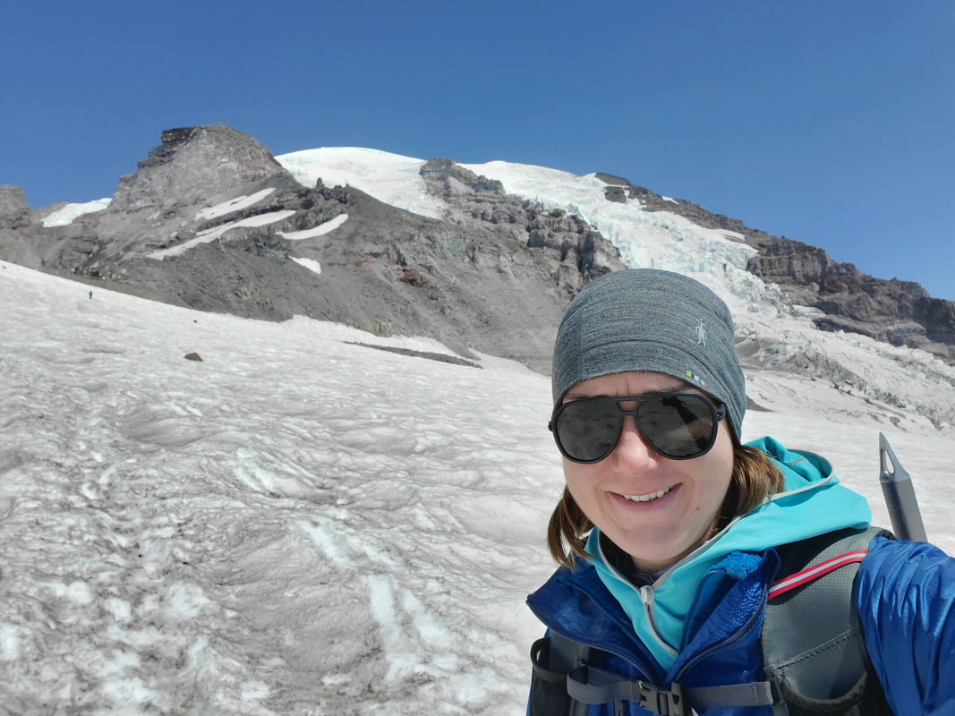
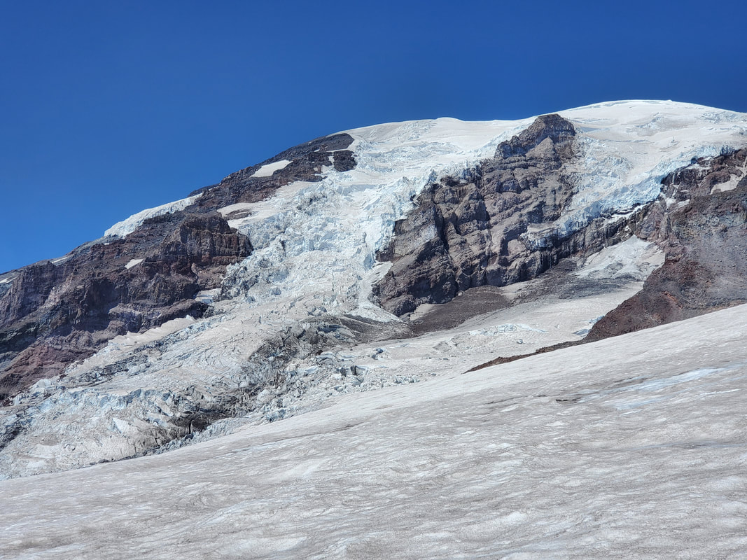
After climbing above the clouds, Mount Rainier was visible in all her glory. Camp Muir came into view under a rocky slope of the mountain. It seemed so close, yet I have learned that snow always plays with your perception. The camp was still ~2,000 vertical feet further. I made good progress upwards, but also took plenty of pauses for pictures, videos, and enjoying the perfectly blue sky overhead.
Camp Muir
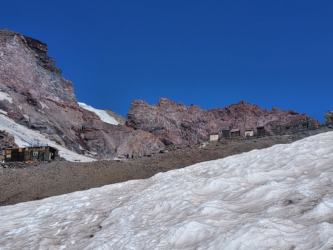
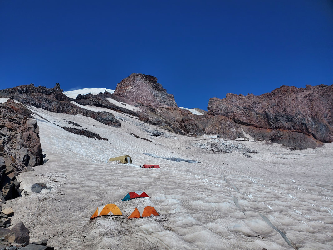
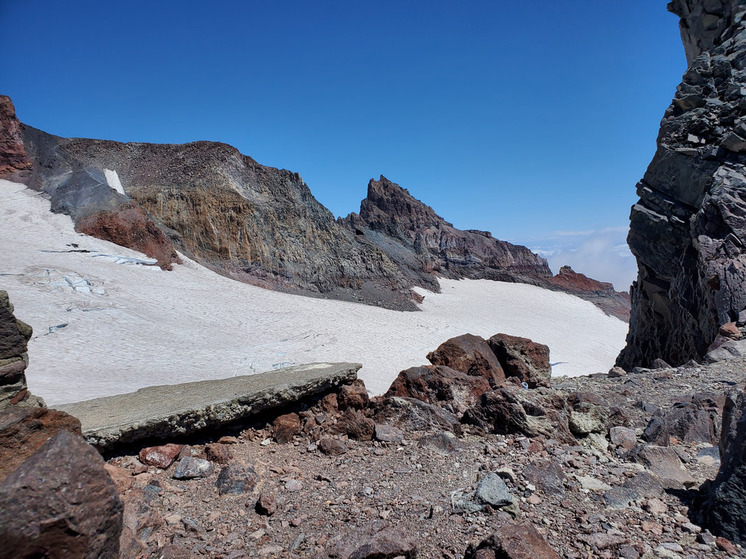
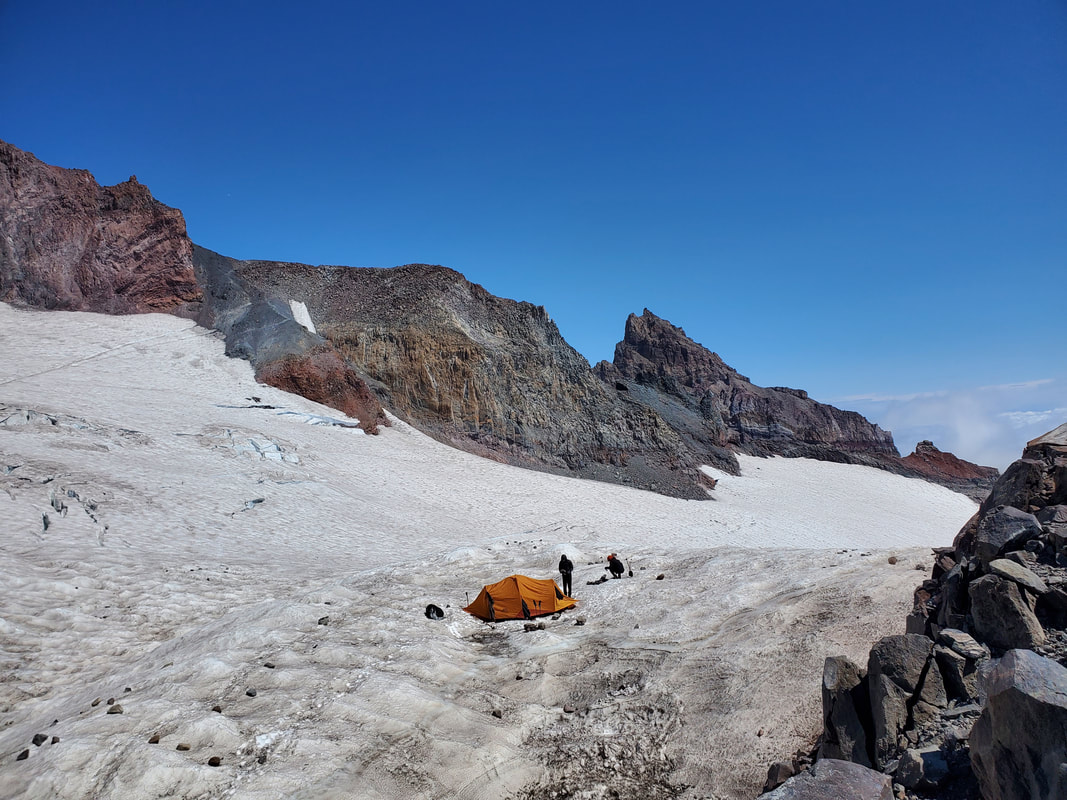
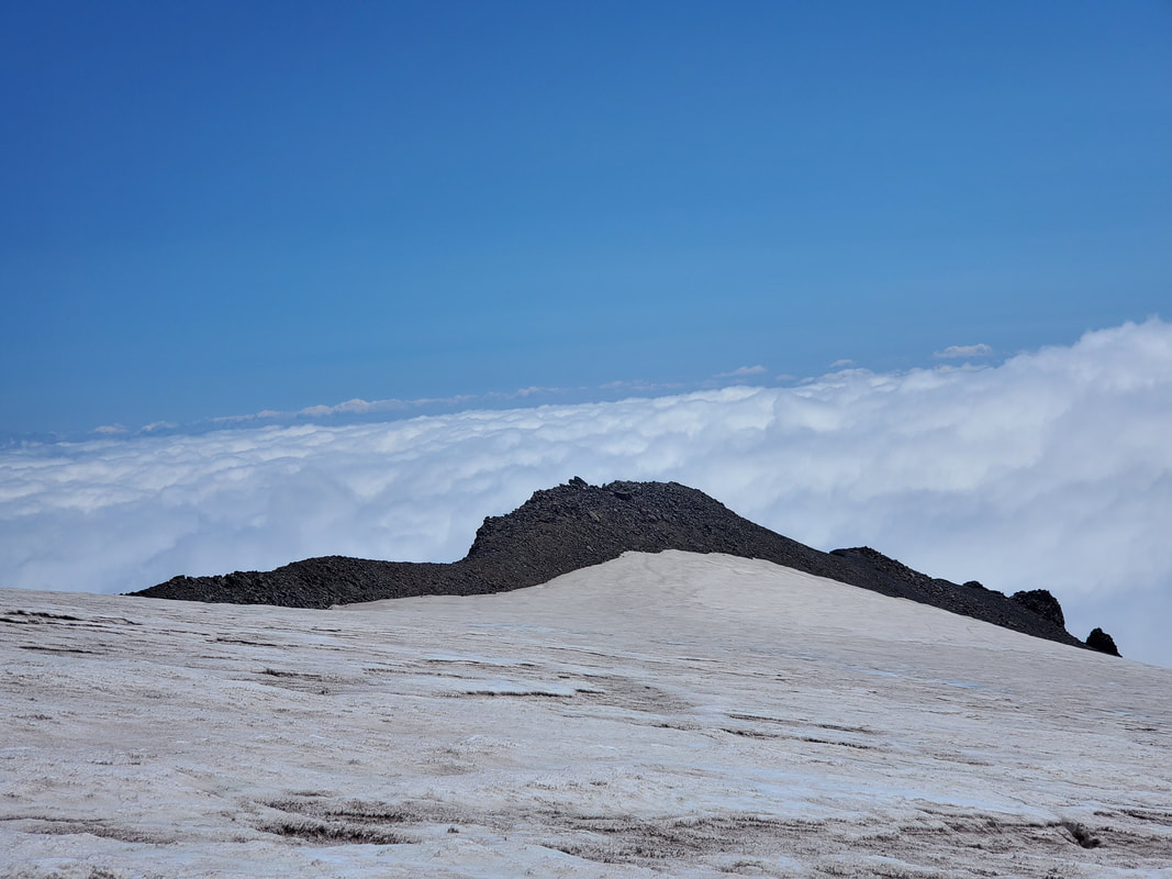
Once reaching Camp Muir I took a snack break and then explored around the small, rocky portion of the camp area. There are a number of wooden or rock structures on the camp rim. I noticed at least two National Park Service buildings where Rangers must live on shifts. There were several shelter buildings (closed for covid) and a row of solar toilets. Besides a few day hikers like myself, I saw two groups that had set up camp and appeared to be prepping for their summit push the next day. Although there were no views on the horizon, it was a cool experience to see the bluebird skies overhead and a carpet of white below.
Descending Back Towards the Clouds
After hanging around Camp Muir for about 40 minutes, I started descending back down the mountain towards the cloud cover. I took the opportunity to take a few more pictures and, just like that, found myself engulfed in the clouds once again.
Back In the White Out
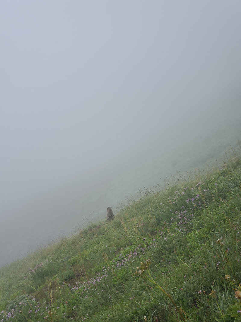
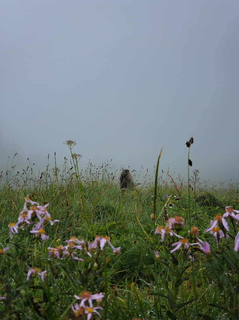
Once off the Muir snowfield and back on the Paradise area established trails, I decided to make a loop back to the Paradise Visitor Center as opposed to simply returning the same route I had come up. Heading clockwise through the Paradise area I wound back through the meadows of wildflowers and saw multiple marmots! One in particular posed for my photo shoot. Too bad I could not take in much of the surrounding meadow views due to the thick cloud cover. The Pacific Northwest mist had resumed and I kind of enjoyed the cloud covered, cool, and damp stroll back towards the car (a welcome change to the heat and dry conditions lately).
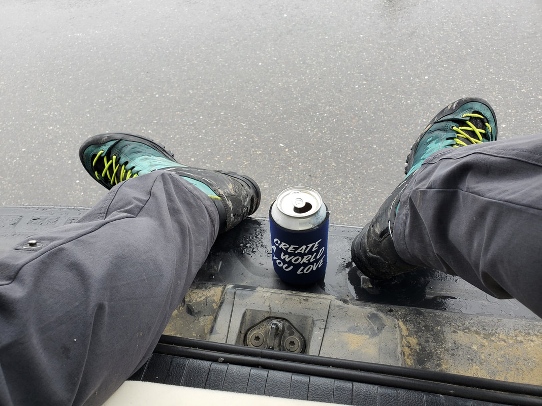
Back at the Paradise parking lot, I chilled out on the tailgate of my vehicle with a post-trip beverage, watched the mist, and observed the flocks of tourists around. I had been one of those tourists just two years ago. Now the tourists had no idea where I had been or what I had just done. I looked down at my coozie slogan "Create a World You Love" and smiled. Yes, indeed.
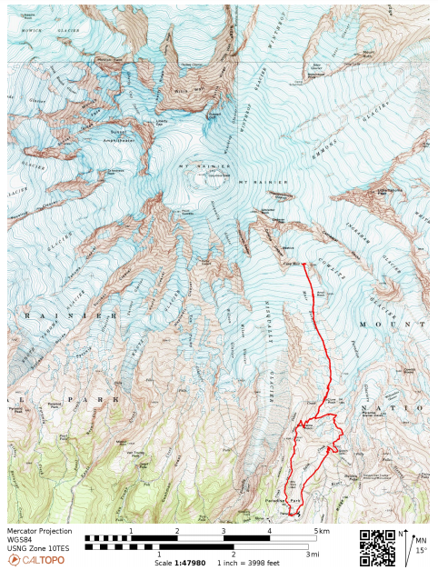
View the below map with my actual route tracked via my GPS watch. My start/end point is at the bottom of the map at Paradise Visitor Center.
View the below map with my actual route tracked via my GPS watch. My start/end point is at the bottom of the map at Paradise Visitor Center.
