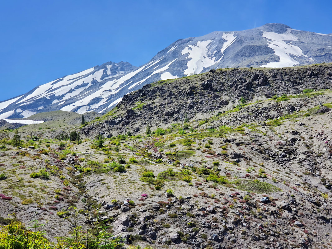
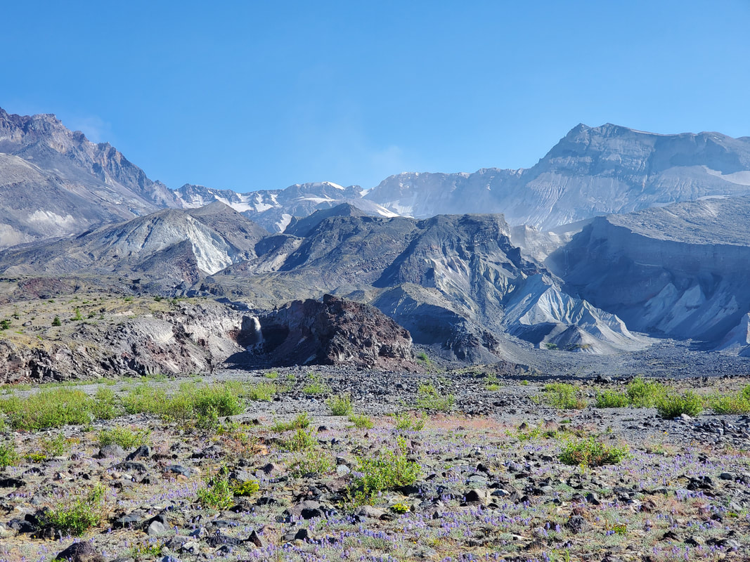
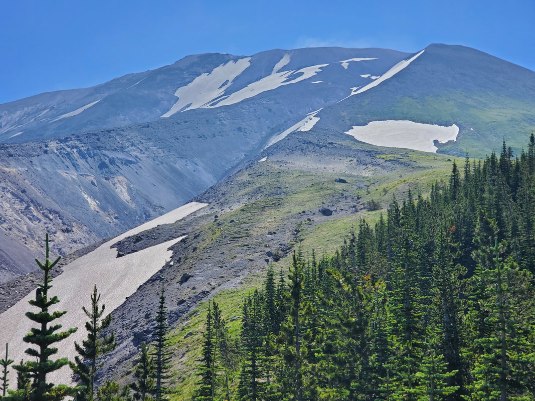
Ever wondered what it is like to walk 360 degrees around a volcano? Well, I did just that over the 4th of July weekend. But if you cannot make it there in person - check out my photo slideshow to "walk with me" and virtually experience the mountain from every angle. Over the July 4th weekend I completed the Loowit Trail which circumnavigates Mount St. Helens for roughly 28 miles (including approach trail) and provides a 360 degree perspective of the volcano that very recently erupted in 1980. To view the full story, plus all the pictures and videos, check out my Loowit Trail trip report. I have climbed to the Mount St. Helens summit twice in the past year, via both the Summer Route and the Winter Route, but it was a different perspective this time to travel fully around the volcano. Mount St. Helens is still very much in the process of regeneration and I knew it would be a unique experience to observe the destruction and the recovery from all angles. I found that each side of the mountain has unique characteristics and surprises. It was interesting to see how the terrain changes every few miles around the volcano based on how the eruption impacted it - the intensity of the blast and type of debris. From deep gullies, to boulder fields, to flat plains, one thing is for sure - Mount St. Helens brings the scenery and the challenging terrain. I was in awe for 360 degrees around the mountain. To experience it for yourself, view the slideshow below! The photos begin at the southeastern side of the mountain and will "walk" you counter clockwise 360 degrees around the volcano with me! Comments are closed.
|